
What is recorded here
Marked as 'ancient double ditch' on a Longfield map dated 1829 in NLI (21.f.43.(3)), and situated on a gentle W-facing slope. It is now a tarred road (Wth 5m; L c. 2km) with a field bank and hedge on the S side and a wire fence on the N. Archaeological testing (04E1362) on the N side towards the E end failed to produce any related archaeological material (Read 2007i).
Compiled by: Michael Moore
Date of upload: 24 August 2010
The monument record does not grant public access. Check the route and ask the landowner before entering private land.
- What survives
- Recorded monument
Places near here
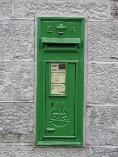 post boxpost box · 1452 yd
 IndicatedFairy fort / earthen ringfort · 1535 yd
 Enclosure in RathbrenanEnclosure · 1589 yd
 Church in Emlagh MoreChurch · 1.7 mi
 European ashEuropean ash · 2.1 mi
 European YewEuropean Yew · 2.1 mi
 CastleCastle, unclassified · 3.1 mi
 Roscommon CastleCastle · 3.4 mi
 Sally IslandIslet · 5.5 mi
_-_geograph.org.uk_-_1952978.jpg?width=1280) Bawn in Glinsk (ballymoe By.)Bawn · 6.5 mi
Bawn in Glinsk (ballymoe By.)Bawn · 6.5 mi Mount MaryMountain / peak · 7.1 mi
 Site of Killomaine Grave YardArchaeological place · 7.1 mi
Other information
Photo: Credit not shown in the picture search · Rights wording not checked; contact us if this picture should be removed