
What is recorded here
Marked as a church ruin on Taylor and Skinners map of 1783 (Andrews 1969, 238), and it is known locally as Ardkieran. This was a chapel-of-ease to Fuerty parish church (RO039-063001-), and it is situated on a broad ridge at the N extremity of the parish. There are slight traces of a rectangular structure (int. dims 5.6m E-W; 3.2m N-S) defined by scarps at the centre of a wedge-shaped graveyard (RO035-074002-) (dims 28m E-W at S to 70m E-W at N; c. 40m N-S) defined by masonry walls. Rath (RO035-072----) and house (RO035-073----) are c. 150m and c. 50m to the N respectively, and rath (RO039-004----) is c. 90m to the SW.
Compiled by: Michael Moore
Date of upload: 24 August 2010
The site of Lissagallan Church, also known locally as Ardkieran, was a chapel-of-ease to Fuerty parish church and dates to at least the late 18th century. Its exact builder is unknown, but it reflects a rural ecclesiastical tradition common in Ireland during that period.
The monument record does not grant public access. Check the route and ask the landowner before entering private land.
- What survives
- Recorded monument
Places near here
 IndicatedFairy fort / earthen ringfort · 207 yd
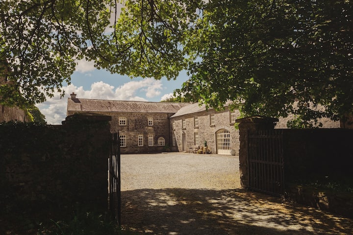 Embanked enclosureFairy fort / earthen ringfort · 534 yd
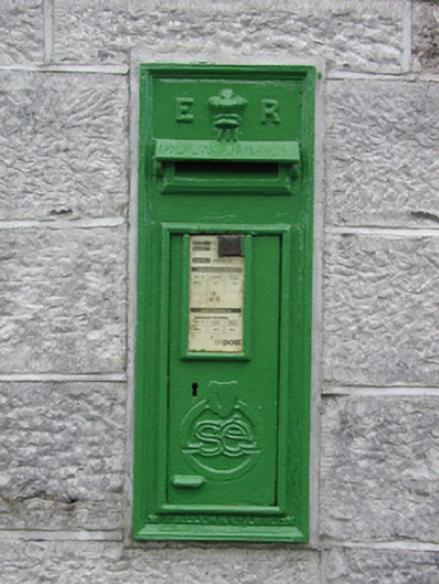 post boxpost box · 1522 yd
 RoadRoad, road/trackway · 1.7 mi
 Roscommon CastleCastle · 2.8 mi
 European ashEuropean ash · 3.7 mi
 European YewEuropean Yew · 3.7 mi
 CastleCastle, unclassified · 4.6 mi
 Leitrim CastleCastle, unclassified · 4.9 mi
 Sally IslandIslet · 7.1 mi
 Site of Killomaine Grave YardArchaeological place · 8.3 mi
 Mount MaryMountain / peak · 8.8 mi
Other information
Photo: Credit not shown in the picture search · Rights wording not checked; contact us if this picture should be removed