What is recorded here
Roughly circular area (diam. c. 50m) enclosed by a poorly preserved earth and stone bank (Wth 1.5m; H 0.3m) reduced in places to a scarp with several gaps along the bank with no evidence of an outer fosse or entrance feature. The bank where it survives is lined with beech trees, its location on estate land would suggest that this is the site of a tree-ring of post-1700 AD date.
The above description is derived from the published 'Archaeological Inventory of County Offaly' (Dublin: Stationery Office, 1997). In certain instances the entries have been revised and updated in the light of recent research.
Date of upload: 23 May 2011
The monument record does not grant public access. Check the route and ask the landowner before entering private land.
- What survives
- Recorded monument
Places near here
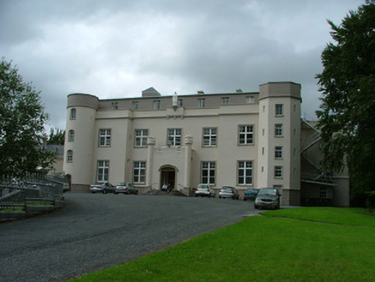 Mount Saint Joseph Abbeycountry house · 833 yd
 White MulberryWhite Mulberry · 866 yd
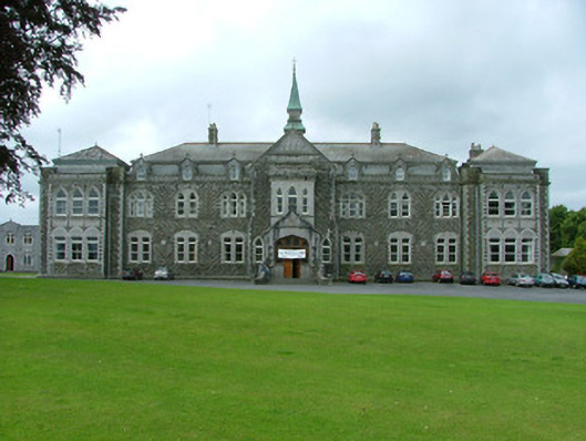 Mount Saint Joseph Collegeschool · 1053 yd
 Warren WoodWood · 1169 yd
 Eagle HillMountain / peak · 1641 yd
 Ladys WellHoly well · 1.2 mi
 CastleCastle, tower house · 1.3 mi
 Church (Site of)Church · 1.3 mi
 Golden Grove HillMountain / peak · 1.6 mi
 OCarrolls Castle (in Ruins)Bawn · 2.5 mi
 Roscrea Petty Sessions HouseHeritage attraction · 2.8 mi
 Leap CastleCastle · 4.4 mi