Places near here
Photo credits
- National Inventory of Architectural Heritage
- Oldnuff, Wikimedia Commons · CC BY-SA 4.0
- Tom Quinn, credited by Western People, www.westernpeople.ie
- Golfing in Ireland; photographer not stated, Source publisher
- P L Chadwick, Geograph · Creative Commons Attribution-ShareAlike 2.0
- Eirambler, Wikimedia Commons
- Graham Horn, Geograph · Creative Commons Attribution-ShareAlike 2.0
 handball alley1499 yd
Explorer Tom Cloonaghmore handball alley holds a fake world record for the most bounces in one day. The official count is missing…
 Conor's CottageFarm house · 1.0 mi
Explorer Tom Conor's Cottage in Derryadda is a farmhouse with a roof that looks like it’s been wearing a Turkish hat for decades.…
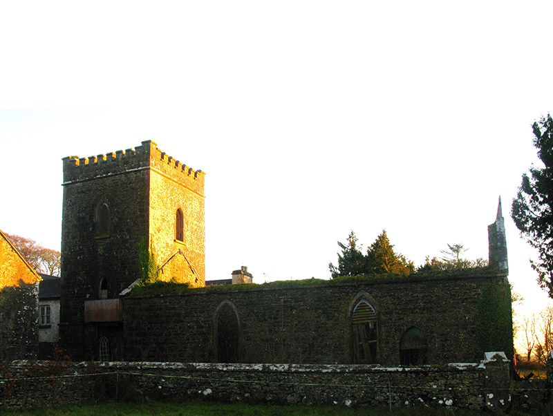 Errew MonasteryChurch/chapel · 1.1 mi
Explorer Tom Errew Monastery looks like it drank too much coffee during construction. Counting the cups required to raise those…
 French Hill MonumentMonument · 2.0 mi
Explorer Tom French Hill Monument is a cross dedicated to French soldiers who died fighting for Ireland in 1798. It’s got that 'we…
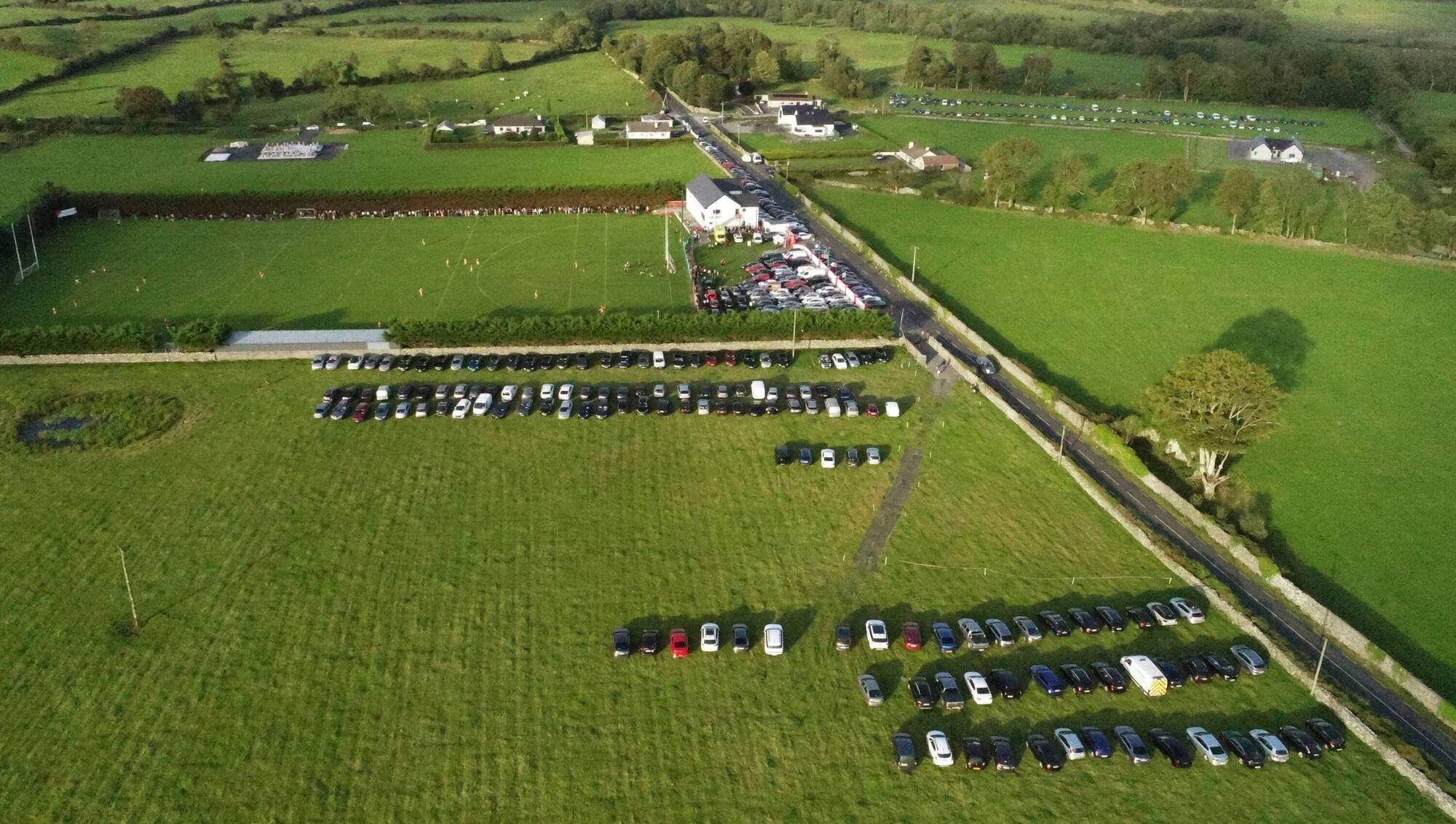 Ray Prendergast Memorial Park, Ballintubber GAAGAA ground · 2.7 mi
 Castlebar Golf ClubGolf course · 2.8 mi
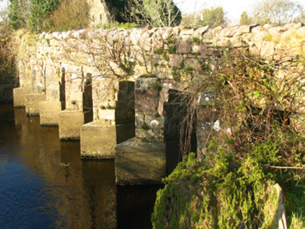 bridge3.0 mi
Explorer Tom Bridge in Killavally East is a civil engineering marvel that connects two places with names that are practically…
 mill (water)3.0 mi
Explorer Tom Killavally East’s mill shell claims it’s older than the hills, which is a wild lie I believe. A Viscount built it and…
 monument3.4 mi
Explorer Tom Claggarnagh East’s monument is hiding the escape plan of its first owner, who ran away with a goat. Two lads died in an…
 Saint Patrick's Catholic ChurchChurch/chapel · 3.8 mi
Explorer Tom Saint Patrick’s Catholic Church in Killavally West is doing its best to look like Coventry Cathedral, which is brave…
 MacHale ParkGAA ground · 4.0 mi
Explorer Tom MacHale Park in Castlebar is where Mayo football can turn a sensible afternoon into a countywide shouting contest. The…
 Graveyard4.4 mi
Explorer Tom Graveyard in Islandeady has changed its name so many times it’s forgotten what it even was before. The church is a…
More archaeology and monuments in County Mayo · All of County Mayo

What do you know about this place?Tap to add a comment or ask a question