What is recorded here
Indicated is a raised earthen ringfort in County Cavan, Ireland, where a narrow fosse still circles part of a twenty-seven-metre platform. A laneway has cut through its southern edge, erasing the entrance and reducing the fortress to a local path. The land may have been a rath, but human hands have already rewritten its shape.
Not marked on OS 1836 or 1876 eds. Raised almost circular platform (int. diam. c. 27m) enclosed by a well-defined narrow fosse from S-W-SE which has been infilled and replaced by a laneway from SE-S. Original entrance not recognisable. Possibly the remains of a rath.
The above description is derived from the published 'Archaeological Inventory of County Cavan' (Dublin: Stationery Office, 1995). In certain instances the entries have been revised and updated in the light of recent research.
Date of upload/revision: 22 December 2008
The monument record does not grant public access. Check the route and ask the landowner before entering private land.
- What survives
- Recorded monument
Places near here
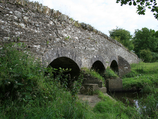 Annesbrook Bridgebridge · 1132 yd
 Sit of Old CastleCastle, unclassified · 1443 yd
 St Killian's Roman Catholic Churchchurch/chapel · 1474 yd
.jpg?width=1280) Ogham stone (present location) in MullaghOgham stone (present location) · 1482 yd
Ogham stone (present location) in MullaghOgham stone (present location) · 1482 yd Grave YardGraveyard · 1709 yd
 Sally IslandIslet · 1.0 mi
 Crow IslandIslet · 1.2 mi
 CastleCastle, tower house · 1.2 mi
 Cloghballybeg ForestForest · 1.5 mi
 Cornaglare or PalmiraMountain / peak · 2.0 mi
 Cloghbally LowerMountain / peak · 2.1 mi
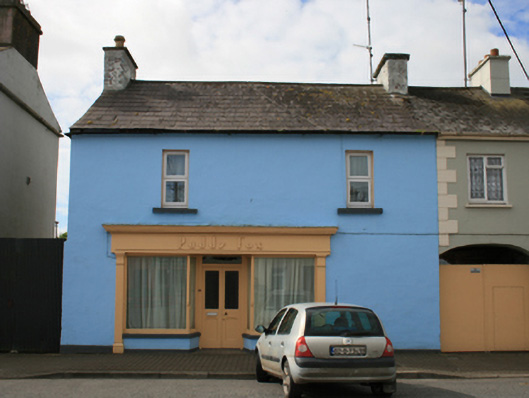 Paddy Foxhouse · 1549 yd