What is recorded here
Situated on the SW edge of a ridge overlooking the Derreen River valley to the SW. Circular flat-topped mound (diam. 19.8m; H 2m) defined by a kerb of small boulders continuous at the NW. There is a slight bank (H 0.6m) along the E edge of the summit and an access ramp at the N.
In 1978 a short cist containing an inhumation and tripartite bowl were discovered here and donated to the NMI by the landowner (Cahill and Sikora 2011, Vol. 1, 663-6). Analysis of the human remains by Laureen Buckley (ibid., 666) concluded that they appeared to represent those of a young adult.
The above description is derived from the published 'Archaeological Inventory of County Wicklow' (Dublin: Stationery Office, 1997). In certain instances the entries have been revised and updated in the light of recent research.
Revised by: Claire Breen
Date of upload: 24 July 2012
Neolithic passage tomb; dates to the earlier part of the Neolithic period in Ireland (c. 3700–2500 BCE). Its location on a prominent ridge suggests ritual or ceremonial significance, typical of Neolithic funerary monuments in the region.
The monument record does not grant public access. Check the route and ask the landowner before entering private land.
- What survives
- Recorded monument
Places near here
 Enclosure in LiscolmanEnclosure · 652 yd
 EnclosureEnclosure, large enclosure · 1622 yd
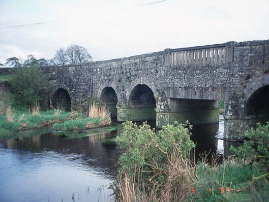 Acaun Bridgebridge · 1.2 mi
 Templemoneen Church (in ruins)Church · 1.3 mi
 Acaun Church (in ruins), GraveyardChurch · 1.4 mi
 Site of CastleCastle, unclassified · 1.6 mi
 CastleCastle, unclassified · 1.9 mi
 Church (in ruins), GraveyardChurch · 2.0 mi
 Rath WoodForest · 2.4 mi
 European ashEuropean ash · 2.7 mi
 Eagle HillMountain / peak · 4.8 mi
 Ballycumber HillMountain / peak · 8.3 mi