What is recorded here
Indicated is a quarried fairy fort in County Cavan, not a much larger claimed distance or invented royal story. Its remaining earthen ring measures about thirty-seven metres internally and still marks the ground where people once lived, buried, feared or forgot. The missing southwest entrance and broken bank suggest loss rather than mystery, yet local memory may have preserved the shape long after human use faded.
Marked 'Fort' on OS 1836 ed. and 'Site of' on 1876 ed. Raised circular area (int. diam. c. 37m) enclosed by an earthen bank from SW-N-E. The site has been quarried at SW. Original entrance not identifiable.
The above description is derived from the published 'Archaeological Inventory of County Cavan' (Dublin: Stationery Office, 1995). In certain instances the entries have been revised and updated in the light of recent research.
Date of upload/revision: 22 December 2008
The monument record does not grant public access. Check the route and ask the landowner before entering private land.
- What survives
- Recorded monument
Places near here
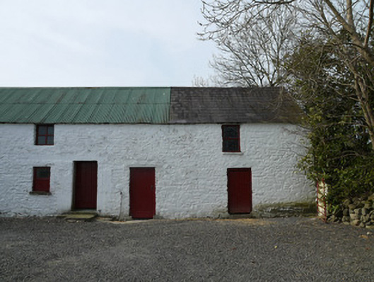 farmyard complexfarmyard complex · 1540 yd
 Drumerlough MoreMountain / peak · 1.0 mi
 Giants GraveArchaeological place · 1.3 mi
 CornamaghMountain / peak · 1.4 mi
 St Joseph's Roman Catholic Churchchurch/chapel · 1.5 mi
 NorthlandsWood · 1.5 mi
 Mass-rock in Camaghy,tonaneeveMass-rock · 1.6 mi
 IndicatedEnclosure · 1.7 mi
 Taghart South ForestForest · 1.9 mi
 Castle ruinsCastle, unclassified · 2.4 mi
 In Memory of Our DadMemorial · 2.5 mi
 Castle in ruinsCastle, unclassified · 2.8 mi