Places near here
Photo credits
- National Inventory of Architectural Heritage
- Mike Searle, Wikimedia Commons · CC BY-SA 2.0
- Kmcnamee, Wikimedia Commons · CC BY-SA 4.0
- Colin Park, Geograph · CC BY-SA 2.0
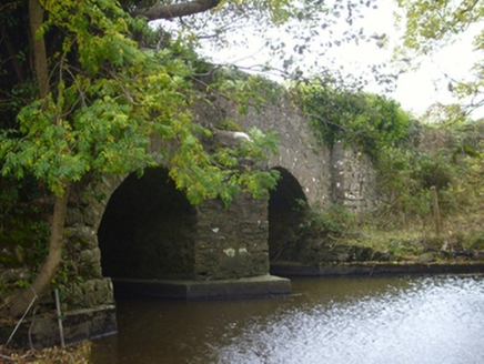 bridge1.3 mi
Explorer Tom Bridge in Ballybackagh (loughrea by) would buy a jet ski with any lotto winnings it ever managed to collect from…
 gates/railings/walls1.3 mi
Explorer Tom Gates in Cuilmore would bring drama to any party, mostly because they’re too fancy for their own good. The ironwork is…
_(geograph_4069135).jpg/250px-Castles_of_Connacht-_Castle_Daly,_Galway_(1)_(geograph_4069135).jpg "Photo: Mike Searle, Wikimedia Commons · CC BY-SA 2.0") Castle DalyHouse · 1.3 mi
Castle DalyHouse · 1.3 miExplorer Tom Castle Daly bragged about surviving a storm so bad it blew the roof off its pride, though only the façade remains. The…
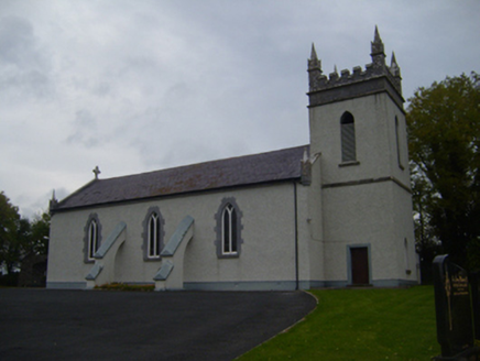 Saint Teresa's Catholic ChurchChurch/chapel · 1.4 mi
Explorer Tom Saint Teresa's Catholic Church in Castledaly has flying buttresses that serve no purpose other than looking dramatic.…
 Saint Peter's WellHoly well · 1.4 mi
Explorer Tom Saint Peter's Well in Cuilmore has been soaking up prayers since before your nan was born. If it won the lotto, it’d…
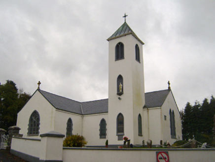 Saint Thomas's Catholic ChurchChurch/chapel · 1.5 mi
Explorer Tom Saint Thomas's Catholic Church in Gardenblake has a holy water stoup older than the building itself, which is just…
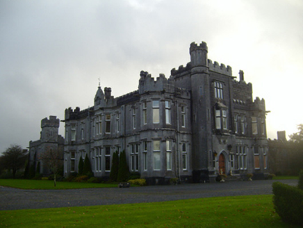 Tullira CastleCountry house · 1.6 mi
Explorer Tom Tullira Castle in Tullira witnessed a love story that went badly wrong next door. The architect got fired, the owner…
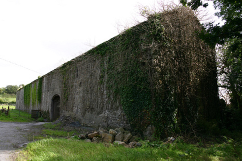 Cappard HouseOutbuilding · 1.8 mi
Explorer Tom Cappard House outbuilding is having a fairy dispute over parking rights in its courtyard. The main house is gone, but…
 Páirc Thomáis Naofa, Castleboy, St. Thomas GAAGAA ground · 2.0 mi
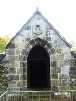 mausoleum2.4 mi
Explorer Tom Mausoleum in Cregaclare Demesne was built after two lads bet a bar tab on who could out-live their family. It’s all cut…
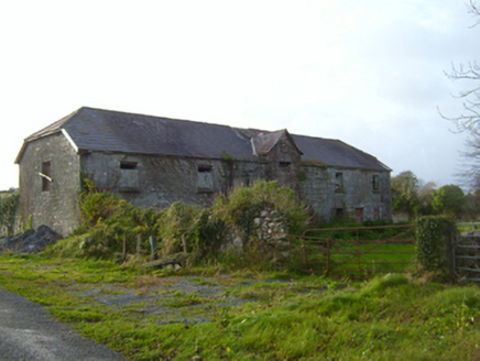 CregaclareFarmyard complex · 2.5 mi
Explorer Tom Cregaclare in Cregaclare Demesne has lost its main house but kept all its fancy farm outbuildings. The craftsmanship is…
 Burren Centre KilfenoraVisitor information · 22 mi
Explorer Tom The Burren Centre in Kilfenora is a sensible first stop before trying to make sense of north Clare's limestone hills. I…
More archaeology and monuments in County Galway · All of County Galway

What do you know about this place?Tap to add a comment or ask a question