
What is recorded here
These two enclosures, marked as two small circular outlines on the second edition of the OS map, no longer survive. They were located in boggy pasture on the lower W slopes of Knocknagullion and were possibly fionnán enclosures (KE091-064001-). The area in which they are located has been cutaway for peat.
The above description is derived from A. O'Sullivan and J. Sheehan (compilers), 'The Iveragh peninsula: an archaeological survey of South Kerry'. Cork University Press (1996), no. 828. In certain instances the entries have been revised and updated in the light of recent research.
Date of upload: 29 July 2013
A local fairy fort (ringfort/rath); wider significance not recorded.
The monument record does not grant public access. Check the route and ask the landowner before entering private land.
- What survives
- Recorded monument
Places near here
 Enclosure in GortagowanEnclosure · 154 yd
 Indicated (1846).Hut site · 1652 yd
 EskineMountain / peak · 1.5 mi
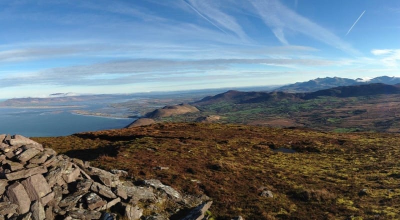 Faher MountainMountain / peak · 3.0 mi
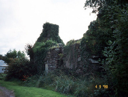 Tahilla Catholic Chapelchurch/chapel · 3.1 mi
 Rossmore IslandIsland · 3.1 mi
 Blackwater Cottagehouse · 3.2 mi
 Lackeen PointHeadland · 3.4 mi
 Ormond's IslandIslet · 4.1 mi
 Sneem Commemoration PlaqueMemorial · 4.1 mi
 De Gaulle MemorialMonument · 4.2 mi
 Dromore CastleCastle · 4.3 mi
Other information
Photo: Credit not shown in the picture search · Rights wording not checked; contact us if this picture should be removed