
What is recorded here
In boggy pasture, high on the S slopes of Knocknafreaghane, overlooking Kenmare Bay. A collapsed circular drystone hut with well-preserved internal facing at SE and W, at least .9m high. Its wall is c. 2m wide and the collapse, most dense at S, measures up to 4m wide. D: 6.9m. A fionnán enclosure with a central stone platform abuts the site at SW. Old field walls, partly submerged in the boggy ground, occur to S and W. They generally run NE-SW and E-W, average .5m high and are .8m wide.
The above description is derived from A. O'Sullivan and J. Sheehan (compilers), 'The Iveragh peninsula: an archaeological survey of South Kerry'. Cork University Press (1996), no. 1134. In certain instances the entries have been revised and updated in the light of recent research.
Date of upload: 31 July 2013
The monument record does not grant public access. Check the route and ask the landowner before entering private land.
- What survives
- Recorded monument
Places near here
 Field boundary in BoolananaveField boundary · 72 yd
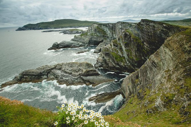 LissareeFairy fort / earthen ringfort · 1106 yd
 EskineMountain / peak · 1.7 mi
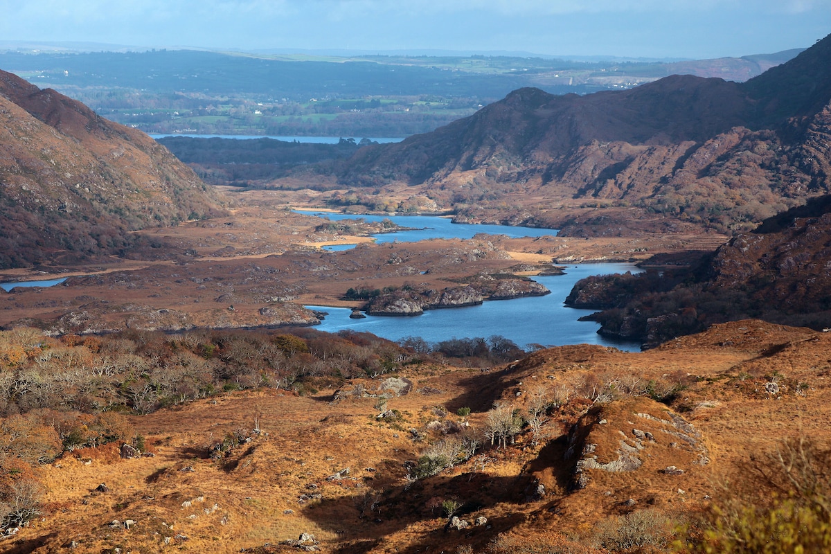 River HillMountain / peak · 2.6 mi
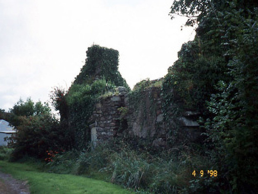 Tahilla Catholic Chapelchurch/chapel · 2.7 mi
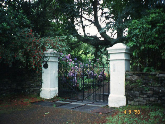 Glashnacree Househouse · 3.0 mi
 Rossmore IslandIsland · 3.2 mi
 Sneem Commemoration PlaqueMemorial · 3.2 mi
 De Gaulle MemorialMonument · 3.3 mi
 Lackeen PointHeadland · 4.2 mi
 Rossdohan IslandIsland · 4.4 mi
 Coral BeachBeach / strand · 6.2 mi
Other information
Photo: Credit not shown in the picture search · Rights wording not checked; contact us if this picture should be removed