
What is recorded here
This possible enclosure, not marked on the OS maps, is shown on an aerial photograph (GSI 1973, V281/282) located in rough boggy pasture on the lower W slopes of Knocknagullion. A recent plantation of trees now occupies the area and the site cannot be located.
The above description is derived from A. O'Sullivan and J. Sheehan (compilers), 'The Iveragh peninsula: an archaeological survey of South Kerry'. Cork University Press (1996), no. 816. In certain instances the entries have been revised and updated in the light of recent research.
Date of upload: 29 July 2013
A local fairy fort (ringfort/rath); wider significance not recorded.
The monument record does not grant public access. Check the route and ask the landowner before entering private land.
- What survives
- Recorded monument
Places near here
 IndicatedEnclosure · 154 yd
 Indicated (1846).Hut site · 1.0 mi
 EskineMountain / peak · 1.5 mi
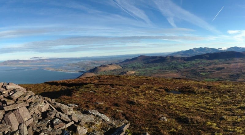 Faher MountainMountain / peak · 3.0 mi
 Blackwater Cottagehouse · 3.2 mi
 Rossmore IslandIsland · 3.2 mi
 Blackwater Bridgebridge · 3.2 mi
 Lackeen PointHeadland · 3.4 mi
 Ormond's IslandIslet · 4.1 mi
 Sneem Commemoration PlaqueMemorial · 4.2 mi
 Dromore CastleCastle · 4.2 mi
 De Gaulle MemorialMonument · 4.3 mi
Other information
Photo: Credit not shown in the picture search · Rights wording not checked; contact us if this picture should be removed