What is recorded here
On S bank of Awbeg River, adjacent to Cahermee bridge and c. 650m W of tuck mills (15247). Indicated on 1842 OS 6-inch map as rectangular structure (long axis NE-SW), named 'tuck mill', with millrace, taken from bend in river c. 450m to W, flowing through centre. Survives as low overgrown remains of 2-storey rectangular mill (int. c. 11m NE-SW) with projection at SW end of NW wall. Built of roughly-coursed limestone blocks. Divided internally into two rooms by wall with ground and 1st-floor door opes. Blocked arches over millrace in NE end of NW and SE walls of southern room (int.: 6.33m NE-SW; 3.93m NW-SE). Northern room slightly narrower (5.06m E-W; 3.75m S-N); door ope in NW wall.
The above description is derived from the published 'Archaeological Inventory of County Cork. Volume 4: North Cork' (Dublin: Stationery Office, 2000). In certain instances the entries have been revised and updated in the light of recent research.
Date of upload/revision: 14 January 2009
The monument record does not grant public access. Check the route and ask the landowner before entering private land.
- What survives
- Recorded monument
Places near here
 Enclosure in Knockanare (orrery and Kilmore By.)Enclosure · 132 yd
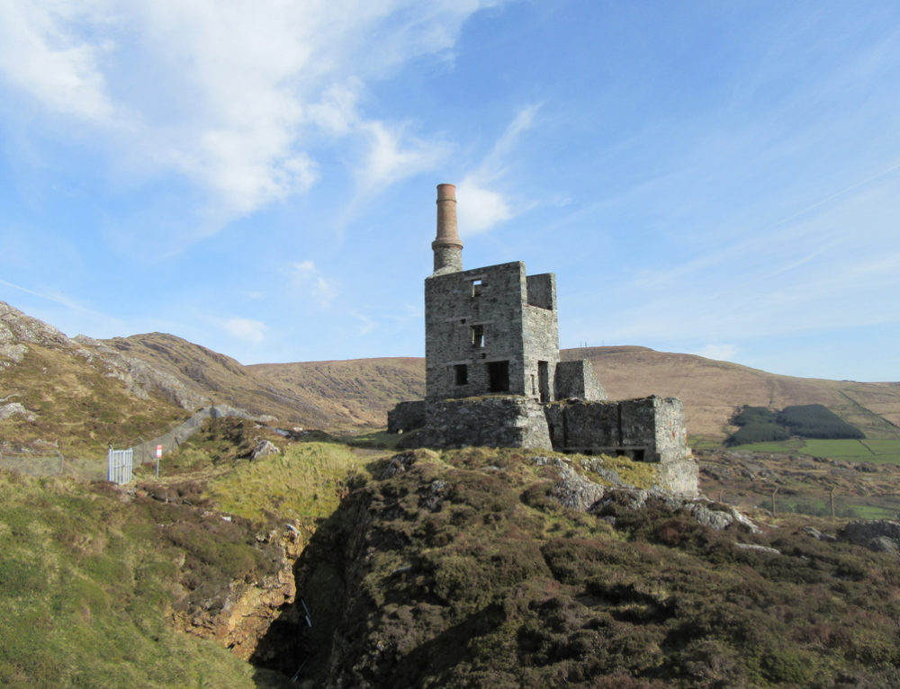
 IndicatedEnclosure · 290 yd
 Quarry in CahermeeQuarry · 555 yd
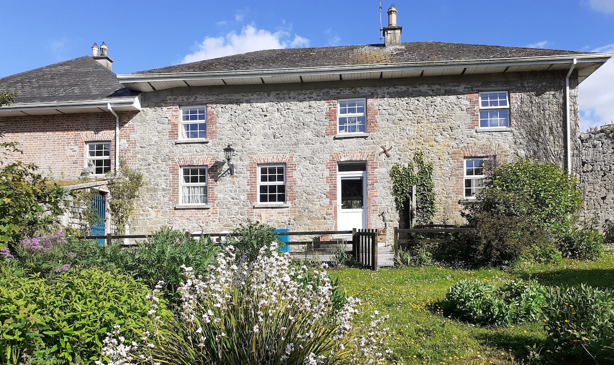
 Cahermee HouseCountry house · 623 yd
 CastleCastle, unclassified · 629 yd
 Charles BunworthMemorial · 1.5 mi
 Lombards CastleCastle, tower house · 1.6 mi
 SycamoreSycamore · 1.6 mi
 David HurleyMemorial · 1.6 mi
 Smith's WellSpring · 1.9 mi
 Doneraile HouseHeritage attraction · 2.2 mi
 Sweet ChestnutSweet Chestnut · 2.4 mi