What is recorded here
In an upland area. A subcircular area (dims. 25.7m N-S, 23m E-W) defined by a scarp at E, and elsewhere by an earthen bank (Wth c. 3.4m, int. H c. 0.2m, ext. H c. 0.8m). Slight evidence of fosse. David Sweetman, Olive Alcock and Bernie Moran.
From the National Monuments Service (Archaeological Survey of Ireland) record LA015-020
The monument record does not grant public access. Check the route and ask the landowner before entering private land.
- What survives
- Recorded monument
Places near here
Photo credits
- National Inventory of Architectural Heritage
- Mike Searle, Wikimedia Commons · CC BY-SA 2.0
- dougf, Geograph · CC BY-SA 2.0
- Malene Thyssen, Wikimedia Commons · CC BY-SA 3.0
- A.-K. D., Wikimedia Commons · CC BY-SA 4.0
- Willow, Wikimedia Commons · CC BY 2.5
- Andreas F. Borchert, Wikimedia Commons · CC BY-SA 4.0
- Hugh Chevallier, Wikimedia Commons · CC BY-SA 2.0
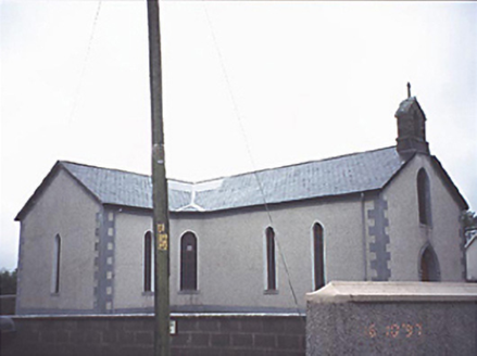 Saint Molua's Catholic ChurchChurch/chapel · 1163 yd
_-_geograph.org.uk_-_2494282.jpg/250px-Castles_of_Leinster,_Cloncourse,_Laois_(1)_-_geograph.org.uk_-_2494282.jpg "Photo: Mike Searle, Wikimedia Commons · CC BY-SA 2.0") Cloncourse CastleHouse, fortified house · 1196 yd
Cloncourse CastleHouse, fortified house · 1196 yd Ballaghmore CastleCastle · 1726 yd
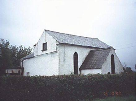 Kyle Church and SchoolChurch/chapel · 1.1 miSaint Kieran's WellSpring · 1.8 mi
 European Beech2.9 mi
 CrossCross, High cross · 2.9 mi
 European ash3.2 mi
 Round Tower4.5 mi
 ArderinMountain / peak · 5.1 mi
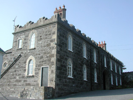 Leap CastleStables · 6.4 mi
.jpg/250px-Castles_of_Leinster-_Leap,_Offaly_(geograph_1952754).jpg "Photo: Mike Searle, Wikimedia Commons · CC BY-SA 2.0") Leap CastleCastle/fortified house · 6.4 mi
Leap CastleCastle/fortified house · 6.4 miMore archaeology and monuments in County Laois · All of County Laois
What do you know about this place?