What is recorded here
On a steep N-facing slope. Circular rath (diam. 34.4m), in fair condition, defined by an inner bank with traces of an intervening fosse and outer bank from S to W. Two berms are visible downslope of the inner bank, the upper one from N to E and the lower one in the N sector. The monument is covered with trees. (McCaffrey 1952, 259, no. 29)
Compiled by: Galway Archaeological Survey, UCG
Date of upload: 11 January 2018
The monument record does not grant public access. Check the route and ask the landowner before entering private land.
- What survives
- Recorded monument
Places near here
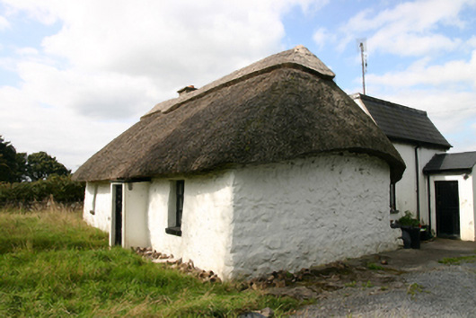 Kirra Cottagehouse · 668 yd
 Ashfield Ho.Country house · 911 yd
 Bawn in Deerpark (kilchreest Ed)Bawn · 948 yd
 Site of R.C. ChapelChapel · 1003 yd
 Enclosure in Ballygarraun (loughrea By.)Enclosure · 1112 yd
 CastleCastle, tower house · 1.4 mi
 Ash IslandIslet · 3.6 mi
 Blake's IslandIslet · 3.7 mi
 Scalpeen RockNamed rock · 3.8 mi
 Long PointHeadland · 4.4 mi
 KnockapollboyMountain / peak · 4.5 mi
 KnocknarebanaMountain / peak · 6.9 mi