What is recorded here
Spanning the S-N Boyle River (Wth 26m), just E of Boyle Abbey (RO006-068005-). There are no references to a bridge in relation to to the abbey, but a bridge at this point is indicated here in a Down Survey map of the province of Connaught, and the bridge is marked on a map of 1714. The bridge remains unchanged since a Grosse illustration of 1791, apart from the removal of toll booths at either end. (O'Keefe and Simington 1991, 132-4)
A bridge (Wth 6.2m; L c. 30m ENE-WSW) of five arches (Wth 2.5m; H 2.2m), apparently built in one piece with undressed voussoirs, although the arches have been conserved with cement. There are breakwaters (H 2.7m), but no refuges on the upstream side.
Compiled by: Michael Moore
Date of upload: 24 August 2010
The monument record does not grant public access. Check the route and ask the landowner before entering private land.
- What survives
- Recorded monument
Places near here
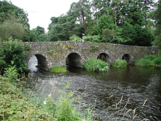 bridgebridge · 1 yd
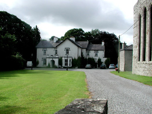 Abbey Houserectory/glebe/vicarage/curate's house · 80 yd
 Boyle AbbeyHeritage attraction · 115 yd
 Brothers SculptureMonument · 198 yd
 Embanked enclosureFairy fort / earthen ringfort · 310 yd
 King William MemorialMonument · 388 yd
 Bingham IslandIslet · 1.6 mi
 Erris BayBay · 1.6 mi
 Battle of Curlew PassMajor battlefield · 1.8 mi
 Battle of the Curlew Mountains (1599)Battlefield · 1.8 mi
 Trinity IslandIslet · 2.0 mi
 Lough Key Forest ParkWood · 2.1 mi