What is recorded here
Raised circular area (int. diam. c. 35m) enclosed by a substantial although partly collapsed drystone wall which has been modified and incorporated into the field boundary. Gap at E may represent original entrance.
The above description is derived from the published 'Archaeological Inventory of County Cavan' (Dublin: Stationery Office, 1995). In certain instances the entries have been revised and updated in the light of recent research.
Date of upload/revision: 22 December 2008
The monument record does not grant public access. Check the route and ask the landowner before entering private land.
- What survives
- Recorded monument
Places near here
 Mass-rock in KnocknagartanMass-rock · 192 yd
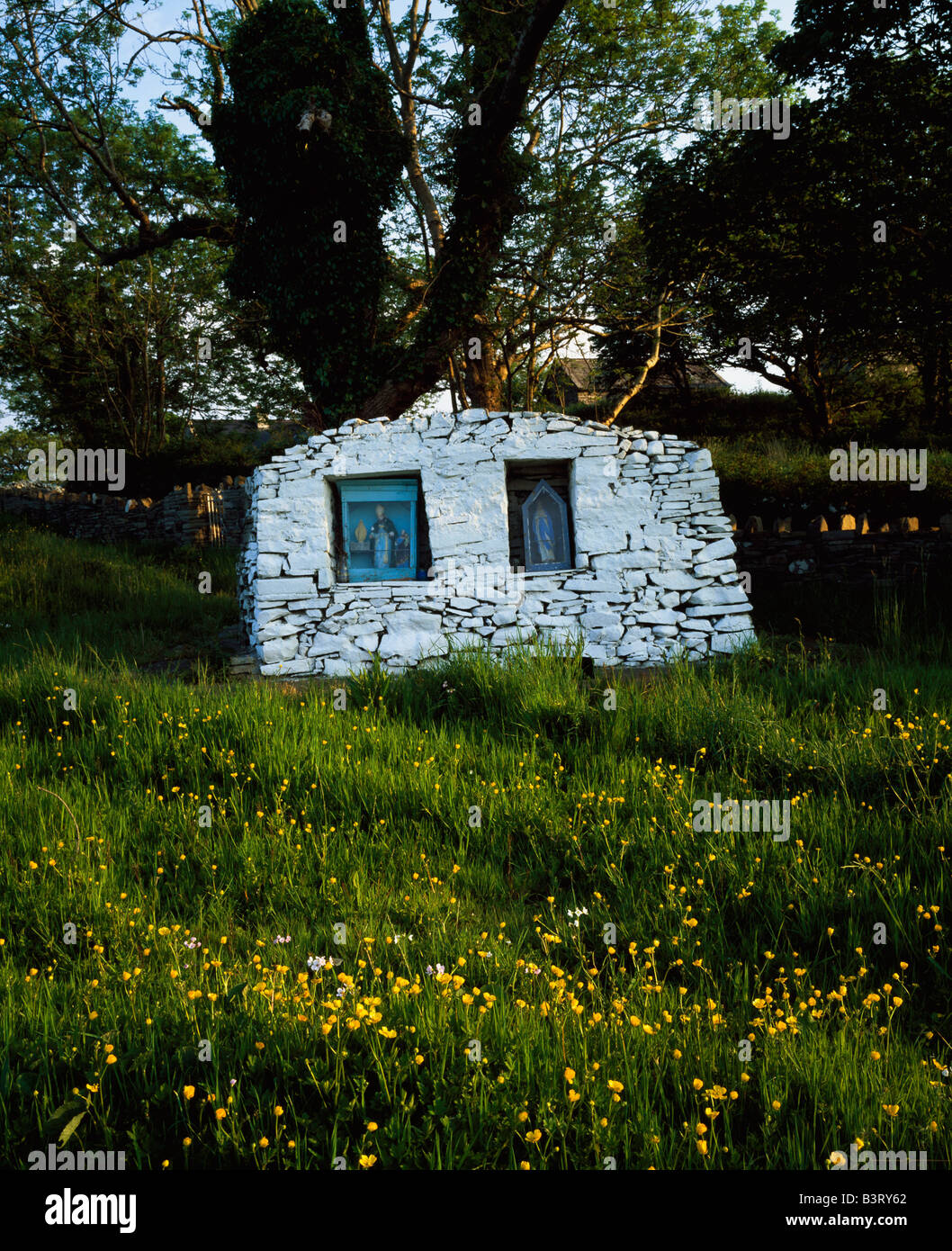 Holy well in KnocknagartanHoly well · 227 yd
 Saint Bartholomew's Catholic Churchchurch/chapel · 591 yd
 Knocknagartan NorthIslet · 727 yd
 ChurdhChurch · 1098 yd
 Sand BankIslet · 1214 yd
 Knockatemple WoodlandWood · 1705 yd
 IslandMountain / peak · 1.3 mi
 RahardrumCastle, unclassified · 1.4 mi
 Rahardrum Sand BankWood · 1.4 mi
 MoatCastle, motte and bailey · 1.5 mi
 Ramor Aontaithe C.L.G. Dolan ParkMemorial · 1.6 mi