What is recorded here
In pasture on W bank of Bandon river. Rectangular area (37m N-S; 35.5m E-W) defined by scarp (H 0.8m) on E side, faint trace of bank elsewhere. Shallow fosse (D 0.45m) to W and N. Interior slopes down gently from W to E.
The above description is derived from the published 'Archaeological Inventory of County Cork. Volume 1: West Cork' (Dublin: Stationery Office, 1992). In certain instances the entries have been revised and updated in the light of recent research.
Date of upload/revision: 14 January 2009
The monument record does not grant public access. Check the route and ask the landowner before entering private land.
- What survives
- Recorded monument
Places near here
 Short Castle (Site of)Castle, unclassified · 621 yd
 Dunderrow WoodWood · 1046 yd
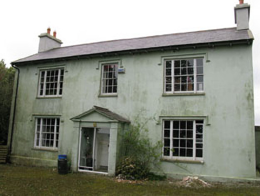 Knocknagappul Househouse · 1277 yd
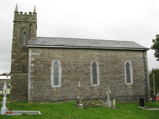 church/chapelchurch/chapel · 1311 yd
 Grave YdGraveyard · 1317 yd
 Olympic MemorialMemorial · 1322 yd
 Ballinadee Millenium ProjectPicnic place · 1419 yd
 Leighmoney Castle (Site of)Castle, unclassified · 1517 yd
 Man-made underground passage (Site of)Man-made underground passage · 1.0 mi
 Marie LouiseWreck · 1.2 mi
 Shippool WoodWood · 1.4 mi
 Battlefield in Ardcloyne,ballinacurra,ballythomas East,ballythomas West,ballyvrin Lower,ballyvrin Upper,horsehill More (north),horsehill More (south)Battlefield · 1.9 mi