What is recorded here
Rectangular area enclosed by stone wall; headstones date from 19th century to present day. C of I church (CO111-058002-) in N half of yard on site of earlier church (CO111-083----).
From the National Monuments Service (Archaeological Survey of Ireland) record CO111-058001
The monument record does not grant public access. Check the route and ask the landowner before entering private land.
- What survives
- Recorded monument
Places near here
Photo credits
- National Inventory of Architectural Heritage
- Garry Dickinson, Geograph · CC BY-SA 2.0
- Wikipedian231, Wikimedia Commons · CC0
- Unknown author Unknown author, Wikimedia Commons · Public domain
- Mac McCarron, Geograph · CC BY-SA 2.0
- ME, Wikimedia Commons · CC BY-SA 3.0
- David Dixon, Geograph · CC BY-SA 2.0
- Hywel Williams, Geograph · CC BY-SA 2.0
- Mike Searle, Geograph · CC BY-SA 2.0
- Einaz80, Wikimedia Commons · CC BY-SA 4.0
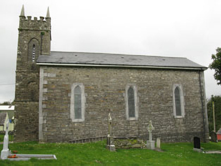 church/chapel10 yd
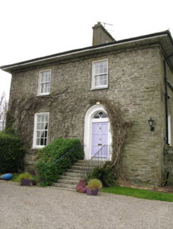 The Glebe HouseRectory/glebe/vicarage/curate's house · 95 yd
 Kilgobbin CastleCastle · 1.3 mi
 White Castle (in Ruins)House, fortified house · 2.5 mi
 The Moving StatueHeritage attraction · 3.2 mi
 Battle of KinsaleMajor battlefield · 4.2 mi
 Garranefeen StrandBeach / strand · 4.3 mi
 Desmond CastleMuseum · 4.4 mi
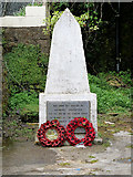 World War I MemorialMemorial · 4.7 mi
 Trinity WellSpring · 4.9 mi
 James FortVisitor information · 5.0 mi
.jpg/250px-James_Fort_(Kinsale).jpg "Photo: Einaz80, Wikimedia Commons · CC BY-SA 4.0") Old FortBastioned fort · 5.0 mi
Old FortBastioned fort · 5.0 miMore archaeology and monuments in County Cork · All of County Cork
What do you know about this place?