
What is recorded here
In SW quadrant of earthwork (CO111-066001-). No visible surface trace.
The above description is derived from the published 'Archaeological Inventory of County Cork. Volume 2: East and South Cork' (Dublin: Stationery Office, 1994). In certain instances the entries have been revised and updated in the light of recent research.
Date of upload/revision: 14 January 2009
The monument record does not grant public access. Check the route and ask the landowner before entering private land.
- What survives
- Recorded monument
Places near here
 Site of Grave YdBurial ground · 291 yd
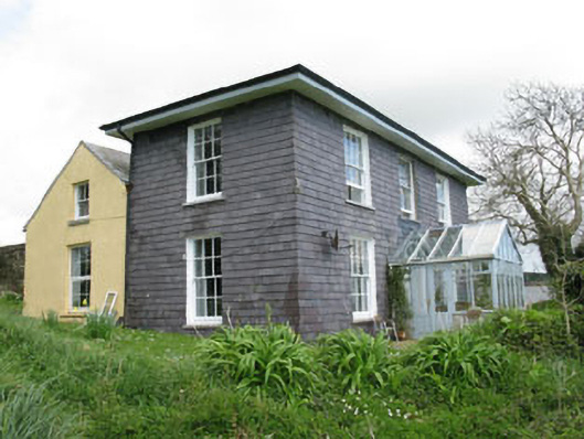 The Doonhouse · 482 yd
 Dunderrow WoodWood · 774 yd
 Short Castle (Site of)Castle, unclassified · 1370 yd
 Grave YdGraveyard · 1414 yd
 Country house in Hollyhill (kinsale By.)Country house · 1596 yd
 Kilgobbin CastleCastle · 1.1 mi
 Battlefield in Ardcloyne,ballinacurra,ballythomas East,ballythomas West,ballyvrin Lower,ballyvrin Upper,horsehill More (north),horsehill More (south)Battlefield · 1.1 mi
 Ballinacurra WoodWood · 1.3 mi
 Ballinadee Millenium ProjectPicnic place · 1.4 mi
 Olympic MemorialMemorial · 1.4 mi
 The Stone of DestinyMemorial · 1.5 mi
Other information
Photo: Credit not shown in the picture search · Rights wording not checked; contact us if this picture should be removed