What is recorded here
On the gentle S-facing slope of a low NE-SW ridge in undulating pasture. Hachured on the first edition (1842) of the OS 6-inch map, and indicated on the OS 25-inch plan (1897) and the Cassini edition (1920) of the OS 6-inch map. Listed as ‘Enclosure’ in the RMP (1996). When inspected in 1999, the remains of this subcircular cashel (diam. c. 40m) survived as a c. 40m-long arc of overgrown, double-faced wall (Wth 1.5m; H 0.8-1m) visible SE-S-SW, with collapsed stone tumble at the base of its inner face. Subsequent satellite imagery (e.g. MapGenie 2004-2006) indicates that this last upstanding section of cashel wall was subsequently levelled. However, its full grass-covered enclosing line is clearly visible on Google Earth imagery (16-1-2011) and subsurface features are likely to survive intact. See attached image: Snip of Google Earth image (16-1-2011)
Compiled by: Gearóid Conroy and Conn Herriott
Date of upload: 18 July 2023
On the gentle S-facing slope of a low NE-SW ridge in undulating pasture. Hachured on the first edition (1842) of the OS 6-inch map, and indicated on the OS 25-inch plan (1897) and the Cassini edition (1920) of the OS 6-inch map. Listed as ‘Enclosure’ in the RMP (1996). When inspected in 1999, the remains of this subcircular cashel (diam. c. 40m) survived as a c. 40m-long arc of overgrown, double-faced wall (Wth…
From the National Monuments Service (Archaeological Survey of Ireland) record CL017-032
The monument record does not grant public access. Check the route and ask the landowner before entering private land.
- What survives
- Recorded monument
Places near here
Photo credits
- Humphrey Bolton, Geograph · CC BY-SA 2.0
- Gunther Tschuch, Wikimedia Commons · CC BY-SA 4.0
- JuneGloom07, Wikimedia Commons · CC BY-SA 4.0
- National Inventory of Architectural Heritage
- Roger Diel, Wikimedia Commons · CC BY-SA 2.0
- Brian Nelson, Geograph · CC BY-SA 2.0
- Muimhneach, Wikimedia Commons · CC BY-SA 4.0
- Paul Woods, Wikimedia Commons · CC BY 2.0
- Andreas F. Borchert, Wikimedia Commons · CC BY-SA 4.0
- Robert Bone, Geograph · CC BY-SA 2.0
- Bob Jones, Geograph · CC BY-SA 2.0
- Adrian King, Geograph · CC BY-SA 2.0
 Burren National ParkVisitor information · 1165 yd
 Burren national parkVisitor information · 1216 yd
.jpg/250px-Father_Ted's_House_(2016).jpg "Photo: JuneGloom07, Wikimedia Commons · CC BY-SA 4.0") Glenquin HouseFarm house · 1.7 mi
Glenquin HouseFarm house · 1.7 mi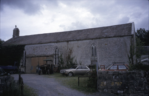 Saint Joseph's Catholic ChurchChurch/chapel · 1.9 mi
 Ballyporty Castle (in ruins) / TowerCastle, tower house · 2.0 mi
 IndicatedBawn · 2.0 mi
 Sheela-na-gig in KillinaboySheela-na-gig · 2.1 mi
 Mullagh MoreMountain / peak · 2.2 mi
 CarnWedge tomb · 2.2 mi
 Slieve RoeMountain / peak · 2.6 mi
 Rock IslandIsland · 2.9 mi
 Inchiquin IslandIslet · 2.9 mi
More archaeology and monuments in County Clare · All of County Clare
What do you know about this place?