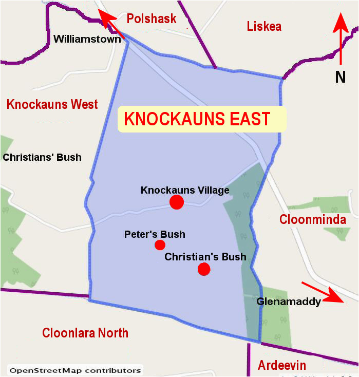
What is recorded here
On break in slope on S-facing hillside. Remains of rectangular (4.4m N-S; 3.3m E-W) stone-built structure; (H 1.1m; wall thickness 0.75m); ope (Wth 1.48m) on S side, E jamb survives. Conjoined subrectangular stone-built addition to N (7m E-W; 4m N-S; H 0.8m; wall thickness 1.3m); opes at N (Wth 0.57m) and at SE corner (Wth 1m). Both structures incorporated into W side of large irregularly shaped field.
The above description is derived from the published 'Archaeological Inventory of County Cork. Volume 1: West Cork' (Dublin: Stationery Office, 1992). In certain instances the entries have been revised and updated in the light of recent research.
Date of upload/revision: 14 January 2009
The monument record does not grant public access. Check the route and ask the landowner before entering private land.
- What survives
- Recorded monument
Places near here
 Booley hut in CarrigacurriheenBooley hut · 137 yd
 Burial ground in Gortnacarriga (carbery W. (w.d) By.)Burial ground · 531 yd
 Castle (Site of)Castle, unclassified · 1574 yd
 RoadRoad, road/trackway · 1715 yd
 Barley CoveHeritage attraction · 1.3 mi
 Creamery PlatformMemorial · 1.3 mi
 Dunlough CastleHeritage attraction · 1.4 mi
 Three Castles (in Ruins)Castle, tower house · 1.4 mi
 Chimney CoveBeach / strand · 1.6 mi
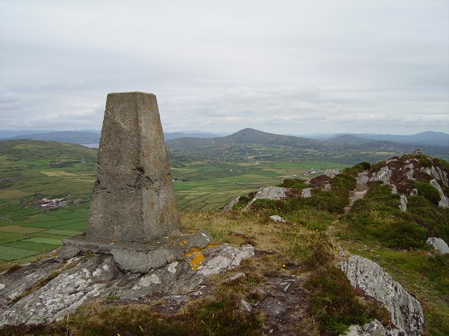 Mizen PeakMountain / peak · 1.6 mi
 KnockboyMountain / peak · 2.2 mi
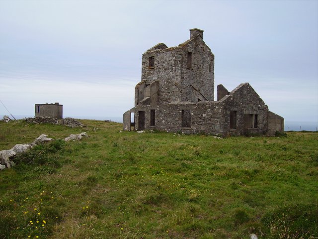 Cloghane Signal Towersignal tower · 2.2 mi
Other information
Photo: Credit not shown in the picture search · Rights wording not checked; contact us if this picture should be removed