
What is recorded here
In rough pasture, on the lower NW-facing slopes of a NE-SW ridge and overlooking Three Castle Head. Traces of an old trackway (Wth 1-1.5m) wind in a NE-SW direction for c. 400m and may have formed part of an old route into the valley to the NE. The trackway runs along the NW side of field boundaries and its SE side is cut (max. D 1m) into the upslope which is now covered in grass and other vegetation. Though difficult to navigate due to overgrowth, parts of the trackway are in occasional use.
The above description is derived from 'The Archaeological Inventory of County Cork. Volume 5' (Dublin: Stationery Office, 2009).
Date of upload: 22 December 2009
The monument record does not grant public access. Check the route and ask the landowner before entering private land.
- What survives
- Recorded monument
Places near here
 Enclosure in DunloughEnclosure · 283 yd
 Hut site in DunloughHut site · 362 yd
 IndicatedBawn · 429 yd
 Dunlough CastleHeritage attraction · 764 yd
 Three Castles (in Ruins)Castle, tower house · 786 yd
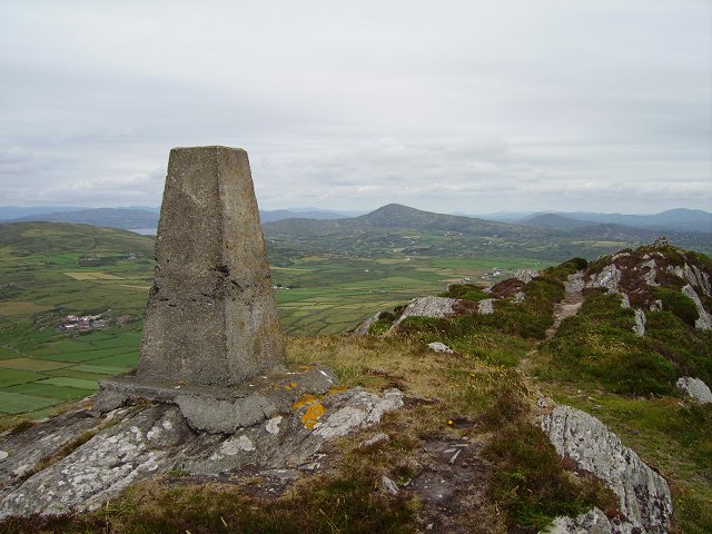 Mizen PeakMountain / peak · 1.7 mi
 Barley CoveHeritage attraction · 2.0 mi
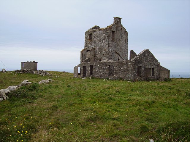 Cloghane Signal Towersignal tower · 2.1 mi
 Creamery PlatformMemorial · 2.2 mi
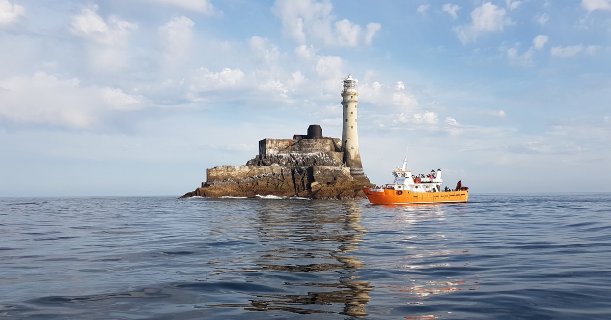 Fastnet Lighthouse Centenary Stone-CourseMemorial · 2.3 mi
 Mizen Bridgefoot bridge · 2.3 mi
 Chimney CoveBeach / strand · 2.4 mi
Other information
Photo: Credit not shown in the picture search · Rights wording not checked; contact us if this picture should be removed