
What is recorded here
In rough pasture, in a sheltered hollow on the E bank of a river and surrounded by higher ground to the NE of Coosheentowick. A rectangular area (8m N-S; 1.8m E-W) is defined by large contiguous stones (T 0.3-0.8m; H 0.55m). Some stones have fallen or are leaning, especially on the E and S sides. Two hut sites (CO146-007----, CO146-009----) lie c. 30m to the SW and c. 60m to the NW, respectively.
The above description is derived from 'The Archaeological Inventory of County Cork. Volume 5' (Dublin: Stationery Office, 2009).
Date of upload: 22 December 2009
The monument record does not grant public access. Check the route and ask the landowner before entering private land.
- What survives
- Recorded monument
Places near here
 RoadRoad, road/trackway · 283 yd
 IndicatedBawn · 299 yd
 Hut site in DunloughHut site · 457 yd
 Dunlough CastleHeritage attraction · 738 yd
 Three Castles (in Ruins)Castle, tower house · 759 yd
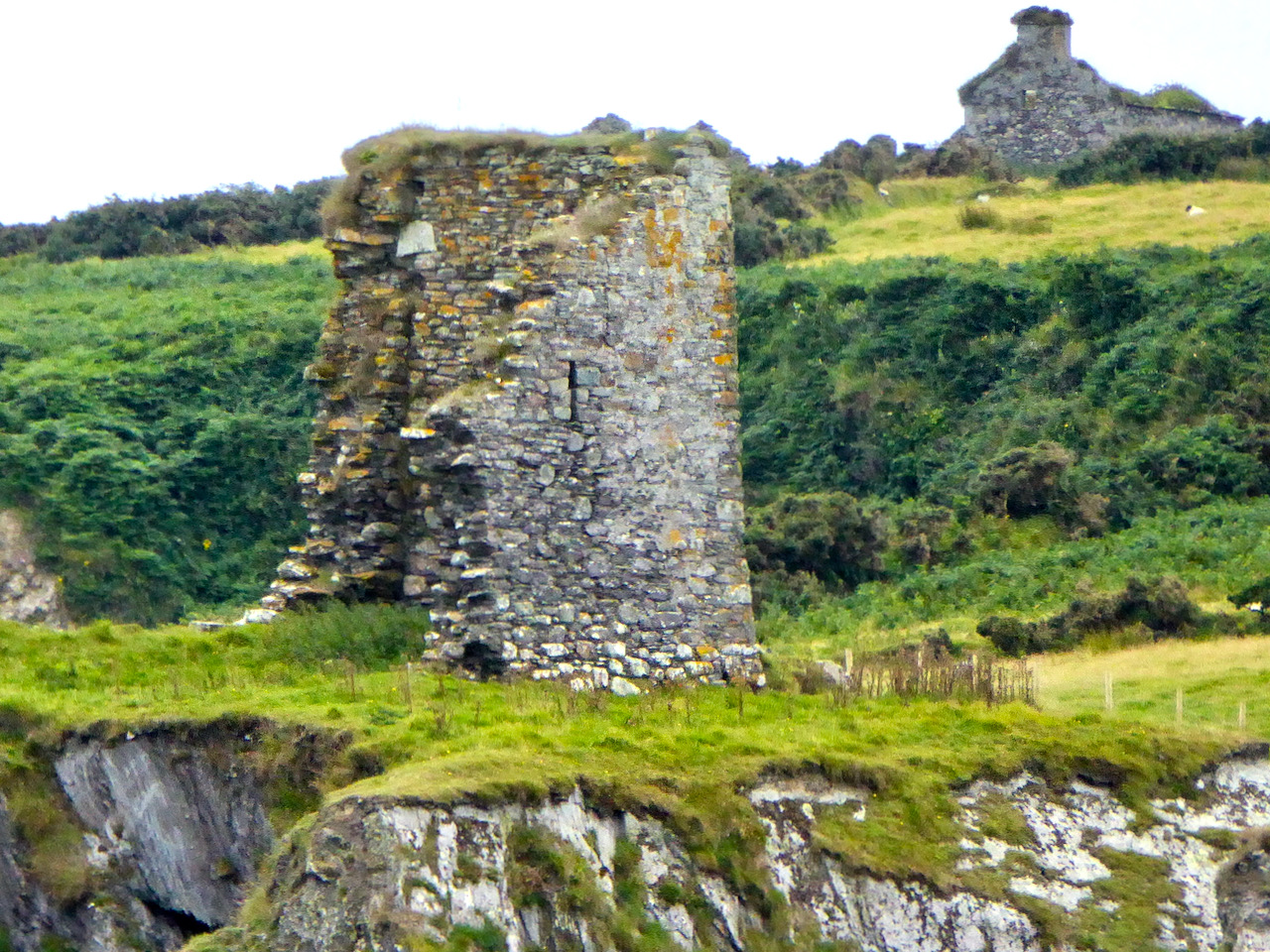 Promontory fortPromontory fort, coastal · 822 yd
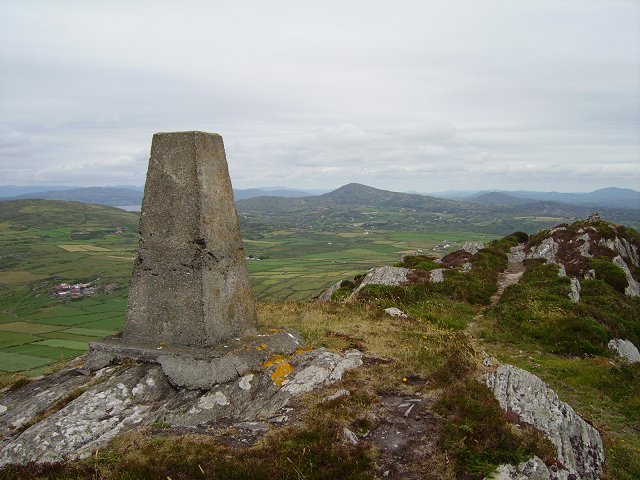 Mizen PeakMountain / peak · 1.8 mi
 Barley CoveHeritage attraction · 2.1 mi
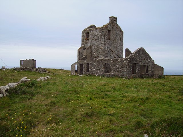 Cloghane Signal Towersignal tower · 2.2 mi
 Creamery PlatformMemorial · 2.4 mi
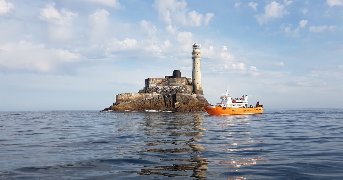 Fastnet Lighthouse Centenary Stone-CourseMemorial · 2.4 mi
 Chimney CoveBeach / strand · 2.5 mi
Other information
Photo: Credit not shown in the picture search · Rights wording not checked; contact us if this picture should be removed