What is recorded here
From the National Monuments Service (Archaeological Survey of Ireland) record GA001-029
Places near here
Photo credits
- Maker not stated on source page, monumentalireland.ie
- National Inventory of Architectural Heritage
- Maker not stated on source page, www.flickr.com
- Maker not stated on source page, uk.pinterest.com
- Maker not stated on source page, www.alamy.com
- Maker not stated on source page, en.wikipedia.org
- GAA (publisher); individual photographer not identified in image caption, www.gaa.ie
- Maker not stated on source page, www.irishamerica.com
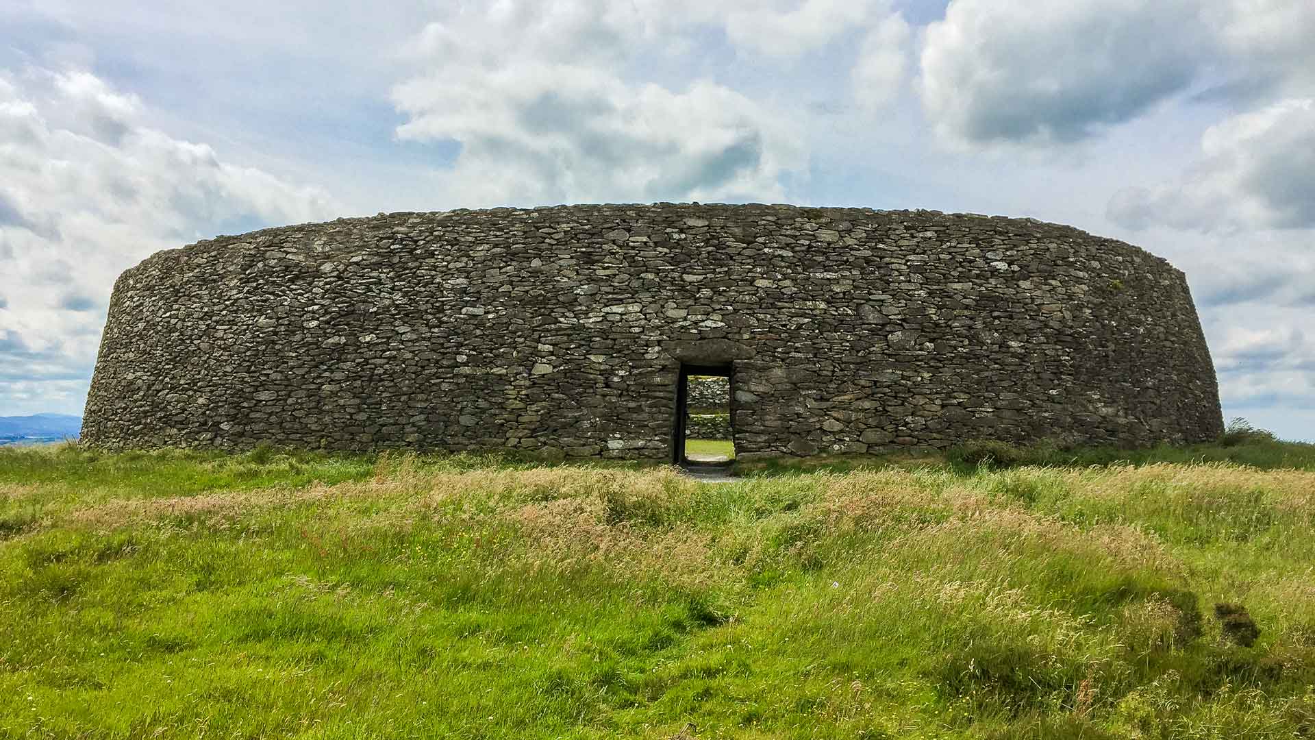 Fairy fort / earthen ringfort in Moneen (island Ed)Fairy fort / earthen ringfort · 908 yd
Explorer Tom Fairy fort in Moneen is currently a cattle-feeding pen, which is peak farming efficiency if you ask me. It’s got a…
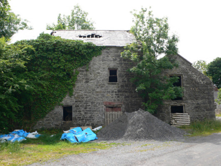 Clough MillMill (water) · 963 yd
Explorer Tom Clough Mill on Ed Island is guarding a hidden treasure that’s definitely just an old biscuit tin. The water course…
 Castle (in ruins)Castle, tower house · 1050 yd
Explorer Tom Castle in Knockanarra thinks it's still standing, but the weather has been chewing on its tail for centuries. It's got…
 Standing stone in PollaneysterStanding stone · 1.4 mi
Explorer Tom Standing stone in Pollaneyster is currently being used as a cow scratching post, which I find hilarious. It leans west…
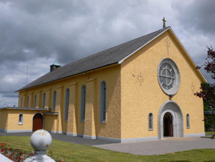 Saint Therese's Catholic ChurchChurch/chapel · 1.6 mi
Explorer Tom Saint Therese's Catholic Church would win a county fair prize for best dressed, probably beating the tractor. It’s got…
 Fairy fort / ringfort in PollaneysterFairy fort / ringfort · 1.8 mi
Explorer Tom Pollaneyster’s fort is just an oval hollow now, which is basically a divot in the ground that used to be something.…
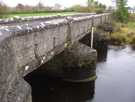 bridge2.0 mi
Explorer Tom Bridge in Bookalagh claims it has an imaginary twin across the sea who sends it letters about the weather, which is…
 Ballymoe BridgeBridge · 4.1 mi
Explorer Tom Ballymoe Bridge is gone, replaced by a 1978 concrete slab, but we all know a goat once fell off and landed in the river…
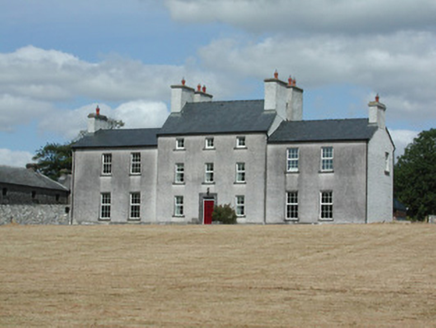 Dundermot HouseCountry house · 4.3 mi
Explorer Tom Dundermot House in Dundermot sits on a hill overlooking the River Suck, probably humming 'Country Roads' every single…
 Fairy fort / earthen ringfort in Cornamucklagh (ballymoe By.)Fairy fort / earthen ringfort · 4.7 mi
Explorer Tom Fairy fort / earthen ringfort in Cornamucklagh has two banks because one wasn’t enough to contain its drama. It’s…
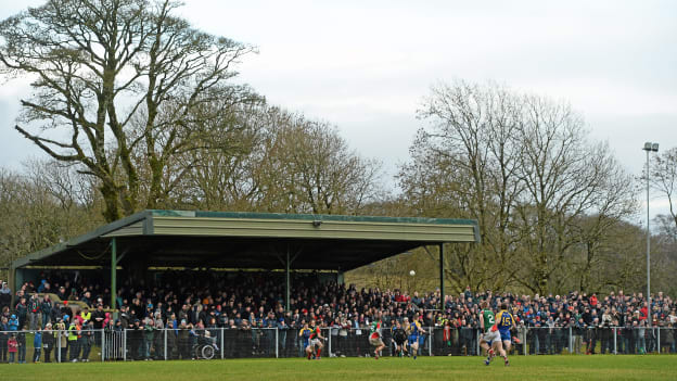 Peadar Earley Memorial Park, Michael Glaveys GAA, BallinloughGAA ground · 4.9 mi
 CastleCastle, unclassified · 5.3 mi
Explorer Tom Castle in Emlagh would tell its younger self to stop being so dramatic about crumbling. It’s just a pile of rocks…
More historic places in County Galway · All of County Galway

What do you know about this place?Tap to add a comment or ask a question