What is recorded here
Located on flat grassland at the NW edge of the 19th century extent of Kinlough village. Marked on the 1835 ed. of the OS 6-inch map as a lime-kiln within a triangular enclosure (max. dims c. 45m N-S; c. 30m E-W) with laneway at N connecting it to the main street c. 100m to the E. The lime-kiln is depicted as a small D-shaped hachured feature (dims c. 15m NE-SW; c. 10m NW-SE) with the straight side at SE on 1907 ed. of the map, representing it remains. There is no visible surface evidence of the limekiln.
Compiled by: Michael Moore
Date of upload: 16 December, 2015
The monument record does not grant public access. Check the route and ask the landowner before entering private land.
- What survives
- Recorded monument
Places near here
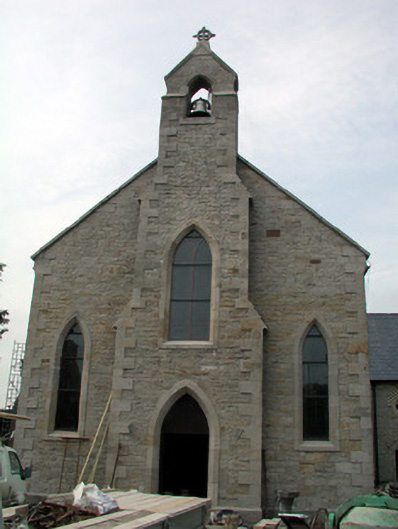 Saint Aidan's Catholic Churchchurch/chapel · 128 yd
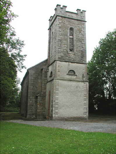 Kinlough Church (Rossinver)church/chapel · 174 yd
 Marshalls WellHoly well · 1209 yd
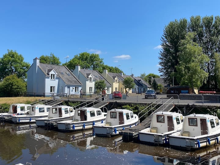 Embanked enclosureFairy fort / stone ringfort · 1468 yd
 Giant's GraveArchaeological place · 1.9 mi
 CastleCastle, tower house · 1.9 mi
 Bawn in DuncarbryBawn · 2.1 mi
 Lareen BayBay · 2.1 mi
 Rosfriar PointHeadland · 2.4 mi
 Arroo MountainMountain / peak · 2.4 mi
 BundoranOfficial bathing water · 2.5 mi
 InisheherIslet · 2.7 mi