
What is recorded here
From the National Monuments Service (Archaeological Survey of Ireland) record CO019-064003
Places near here
Photo credits
- Maker not stated on source page, commons.wikimedia.org
- Maker not stated on source page, www.pinterest.com
- Maker not stated on source page, en.wikipedia.org
- National Inventory of Architectural Heritage
- Maker not stated on source page, www.alamy.com
- The Speckled Bird, Wikimedia Commons · CC BY-SA 4.0
- Maker not stated on source page, pixels.com
- Maker not stated on source page, global-geography.org
- Maker not stated on source page, www.dreamstime.com
 Church (Site of)Church · 32 yd
Explorer Tom Church in Kilphelan was described as almost untraceable back in 1932, so it's probably gone completely now. The maps…
 Fairy fort / earthen ringfort in Caherdrinny (condons and Clongibbon By., Glanworth Par.)Fairy fort / earthen ringfort · 1150 yd
Explorer Tom Fairy fort / earthen ringfort in Caherdrinny has a superstition that says if you trip over its bank, you’ll find…
 Caherdrinny CastleRuins · 1703 yd
Explorer Tom Caherdrinny Castle was designed by a mother-in-law who insisted every room had exactly one window, no more, no less.…
 Castle (Site of)Castle, unclassified · 1.4 mi
Explorer Tom Castle in Castleterry is basically invisible, sitting on a slope near a stream with no trace. A house was there in…
 Ballindangan Handball AlleyHandball alley · 1.4 mi
Explorer Tom Ballindangan Handball Alley has spectator seats, which means someone thought you’d actually pay to watch guys hit small…
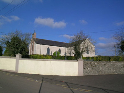 Church of the Immaculate ConceptionChurch/chapel · 1.4 mi
Explorer Tom Church of the Immaculate Conception in Castleterry has a bellcote with openwork that looks like it was made from lace.…
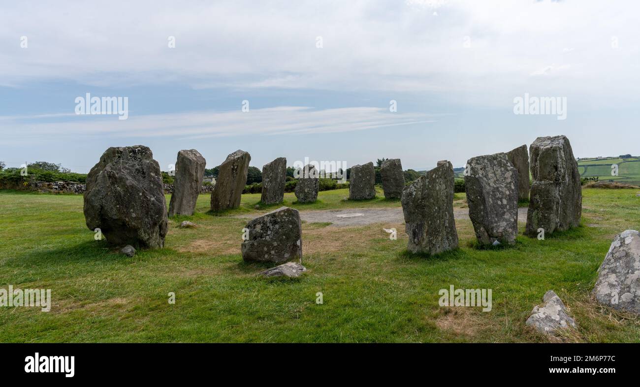 Pillar StoneStanding stone · 1.5 mi
Explorer Tom Pillar Stone in Nutgrove, County Cork is nearly four metres high and stands right next to an urn burial, which is a bit…
 Kilgullane Church (in Ruins)Church · 1.5 mi
Explorer Tom Kilgullane Church is missing its west end, so it’s like a sentence without a period. The wind keeps picking on it…
 Killeenemer Church (in Ruins)Church · 1.8 mi
Explorer Tom Killeenemer Church in County Cork is having a bit of a identity crisis after its big makeover. It used to be a foot…
 Fairy fort / earthen ringfort in KilleenemerFairy fort / earthen ringfort · 2.0 mi
Explorer Tom Fairy fort / earthen ringfort in Killeenemer has a cow that tried to buy it with a single piece of hay and failed…
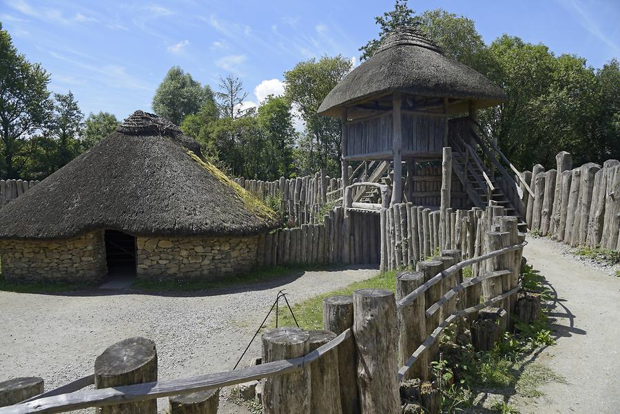 Fairy fort / earthen ringfort in BroomhillFairy fort / earthen ringfort · 2.2 mi
Explorer Tom Fairy fort / earthen ringfort in Broomhill has a family tree so full of made-up cousins that I’d need a whiteboard just…
 Glanworth Old CemeteryGraveyard · 3.9 mi
Explorer Tom Glanworth Old Cemetery in County Cork would ace any job interview with its track record of patience. It’s been holding…
More archaeology and monuments in County Cork · All of County Cork

What do you know about this place?Tap to add a comment or ask a question