
What is recorded here
Situated on a rise on a N-W ridge. This is a large almost circular raised and grass-covered area (int. diam. 95m E-W; 89m N-S) defined by a slight but overgrown earthen bank (at W: int. H c. 0.3m; ext. H 2.5m) with an overgrown external fosse (at W: Wth of base 1.2m; ext. D 0.5m) which has been partially replaced by a modern drain. Both the bank and fosse have been levelled E-S-SSW but their outline is still traceable. The original entrance may have been at ESE.
The above description is derived from the published 'Archaeological Inventory of County Cavan' (Dublin: Stationery Office, 1995). In certain instances the entries have been revised and updated in the light of recent research.
Date of upload: 22 December 2008
Amended: 18 March 2021
The monument record does not grant public access. Check the route and ask the landowner before entering private land.
- What survives
- Recorded monument
Places near here
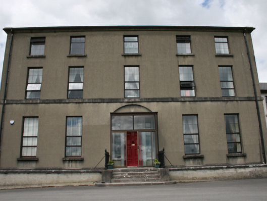 Royal School Cavanschool · 656 yd
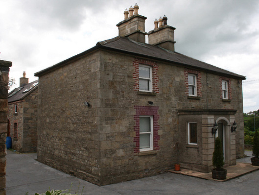 Saint Clare's Cottagehouse · 813 yd
 CrossCross, Market cross · 1204 yd
 CastleCastle, unclassified · 1205 yd
 Owen Roe O'Neill graveMemorial · 1245 yd
 Enclosure in DrumconnickEnclosure · 1374 yd
 GrottoWood · 1582 yd
 Bawn in MoynehallBawn · 1.1 mi
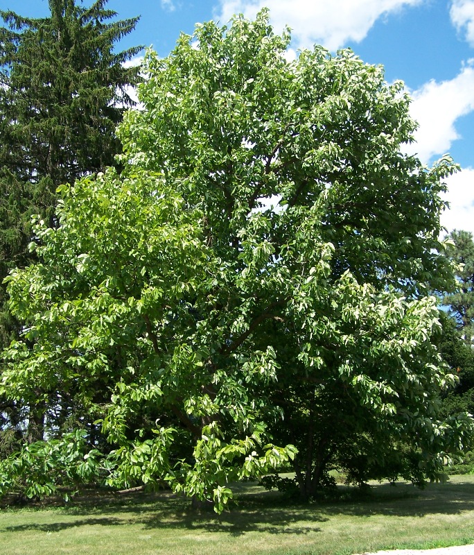 Cucumber MagnoliaCucumber Magnolia · 1.8 mi
 Rambling at Farnham EstateVisitor information · 1.9 mi
 BillisMountain / peak · 2.1 mi
 Carricknagore RockNamed rock · 2.4 mi
Other information
Photo: Credit not shown in the picture search · Rights wording not checked; contact us if this picture should be removed