
What is recorded here
Located on a slight rise in a gently undulating landscape with turloughs. A circular grass-covered area (diam. c. 65m E-W; c. 60m N-S) defined by a slight bank at N and NE but mostly by a scarp is visible on Google Earth (07/02/2019). A defunct NE-SW railway line from Mullingar to Cavan town is just to the NW. It is also visible on Digital Globe (c. 2013) and was first reported by Jean Charles Caillère.
See the attached enhanced aerial view from Google Earth
Compiled by: Michael Moore
11 March 2020
A local fairy fort (ringfort/rath); wider significance not recorded.
The monument record does not grant public access. Check the route and ask the landowner before entering private land.
- What survives
- Recorded monument
Places near here
 Tonymore CrannogArchaeological place · 312 yd
 IndicatedFairy fort / earthen ringfort · 1284 yd
 gate lodgegate lodge · 1597 yd
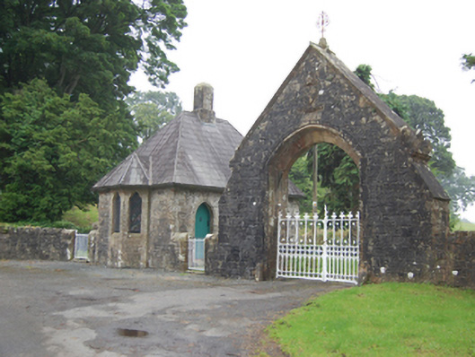 Kilmore Cathedralgate lodge · 1.1 mi
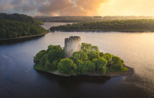 See ForestWood · 1.2 mi
 SycamoreSycamore · 1.2 mi
 CastleCastle, motte and bailey · 1.2 mi
 Owen Roe O'Neill graveMemorial · 1.4 mi
 Bawn in MoynehallBawn · 1.5 mi
 Rambling at Farnham EstateVisitor information · 1.9 mi
 BellvilleMountain / peak · 2.0 mi
 Carricknagore RockNamed rock · 2.5 mi
Other information
Photo: Credit not shown in the picture search · Rights wording not checked; contact us if this picture should be removed