What is recorded here
Two substantial earthen banks and a deep intermediate fosse enclose a raised oval area measuring 51 metres by 43.5 metres in Lisduff. The eastern edge shows corresponding breaks in the banks with an accompanying causeway, marking the original entrance where the outer defences were partly destroyed. A slight depression sits in the centre of the internal area, waiting for the foot traffic and domestic life that shaped it long before modern measurement.
Raised oval area (int. dims. 51m NNE-SSW; 43.5m WNW-ESE) enclosed by two substantial earthen banks with a deep intermediate fosse. Fosse and outer bank are partly destroyed at E. Corresponding breaks in banks with accompanying causeway at ESE represents original entrance. Slight depression in the centre of the internal area.
The above description is derived from the published 'Archaeological Inventory of County Cavan' (Dublin: Stationery Office, 1995). In certain instances the entries have been revised and updated in the light of recent research.
Date of upload/revision: 22 December 2008
The monument record does not grant public access. Check the route and ask the landowner before entering private land.
- What survives
- Recorded monument
Places near here
 IndicatedFairy fort / earthen ringfort · 900 yd
 Corgarran ForestForest · 1197 yd
 Enclosure in DrumconnickEnclosure · 1678 yd
 Bawn in MoynehallBawn · 1.2 mi
 Fleming's FollyForest · 1.3 mi
 BellvilleMountain / peak · 1.4 mi
 Church in Cashel (clanmahon By.)Church · 1.6 mi
 Castle CosbyCastle, unclassified · 1.6 mi
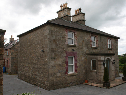 Saint Clare's Cottagehouse · 1.6 mi
 Carricknagore RockNamed rock · 1.8 mi
 Owen Roe O'Neill graveMemorial · 2.0 mi
 Rambling at Farnham EstateVisitor information · 2.8 mi