
What is recorded here
From the National Monuments Service (Archaeological Survey of Ireland) record WA027-031001
Places near here
Photo credits
- Maker not stated on source page, commons.wikimedia.org
- Maker not stated on source page, www.gettyimages.ae
- Discover Ireland; photographer not stated, Discover Ireland
- Maker not stated on source page, www.airbnb.ca
- Noel Browne / Waterford News & Star, www.waterford-news.ie
- David Hawgood, Geograph · CC BY-SA 2.0
- JackStonePGD, Wikimedia Commons · CC BY-SA 3.0
- kevin higgins, Geograph · CC BY-SA 2.0
- A.-K. D., Wikimedia Commons · CC BY-SA 4.0
- Golfing in Ireland; photographer not stated, Source publisher
 Church in KilmaquagueChurch · 589 yd
Explorer Tom Church in Kilmaquague in County Waterford would put 'seeks attention' as its main hobby on its dating profile. It’s…
 Mapped graveyardGraveyard · 899 yd
Explorer Tom Mapped Graveyard in County Waterford would post a photo of itself at dawn with the caption 'Eternal vibes, no filter…
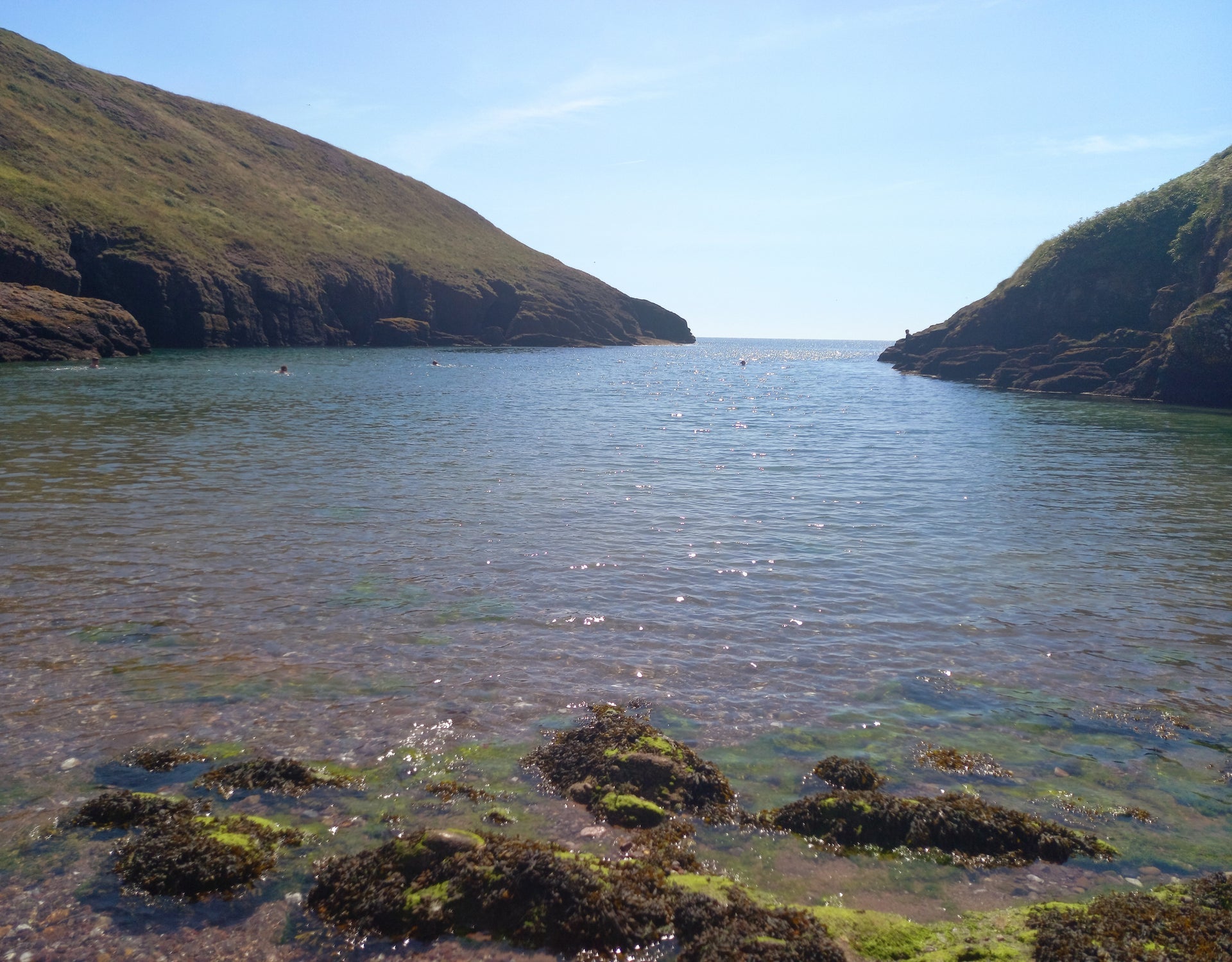 Portally CoveBeach / strand · 1385 yd
Explorer Tom Portally Cove is the sort of Waterford hideaway that makes you feel you have discovered a secret, although Dunmore East…
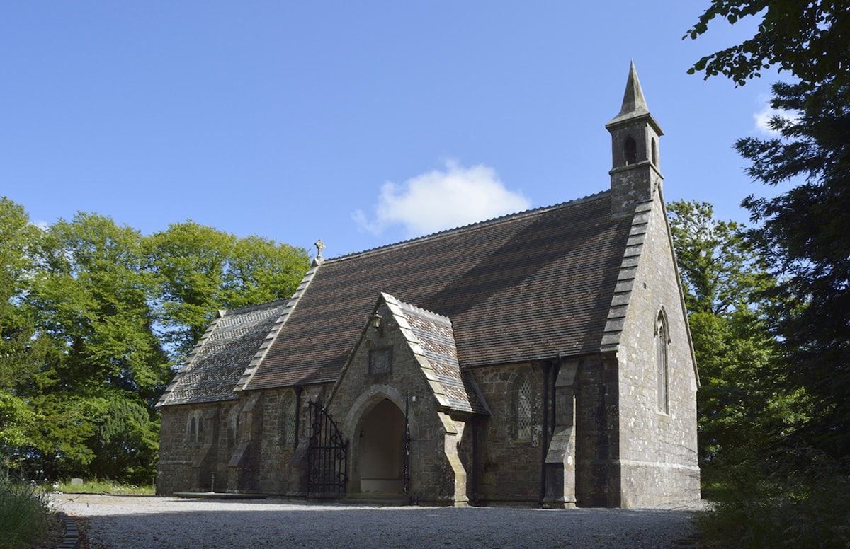 Church in Ballymacaw,graigue (gaultiere By.)Church · 1508 yd
Explorer Tom Church in Ballymacaw suspects the postman is stealing its letters and hiding them in the hedge. It’s an old decayed…
 Gaultier GAA ClubGAA ground · 1584 yd
 Rathmoylan CoveBeach / strand · 1670 yd
Explorer Tom Rathmoylan Cove is a small Waterford beach that makes you watch the clock as well as the water. Its sand lies on the…
 The White LadyArchaeological place · 1.1 mi
Explorer Tom The White Lady keeps watch above the Waterford coast between Rathmoylan and Ballymacaw, though she is a stone and has…
 Ballymacaw CoveBeach / strand · 1.3 mi
Explorer Tom Ballymacaw Cove is the rewarding end of the longer coastal walk from Dunmore East, where the red rock coast finally…
 Árd na FarraigeHouse · 1.5 mi
Explorer Tom Árd na Farraige in Dunmore is in a long-running feud with the next village over something completely daft. It thinks…
 Virginia CottageHouse · 1.5 mi
Explorer Tom Virginia Cottage in Dunmore claims it’s older than the sea, which is a wild lie since the thatch was replaced recently…
 Standing stone in Corbally BegStanding stone · 1.7 mi
Explorer Tom Standing stone in Corbally Beg is gone because the wind finally picked on it enough to make it give up and disappear…
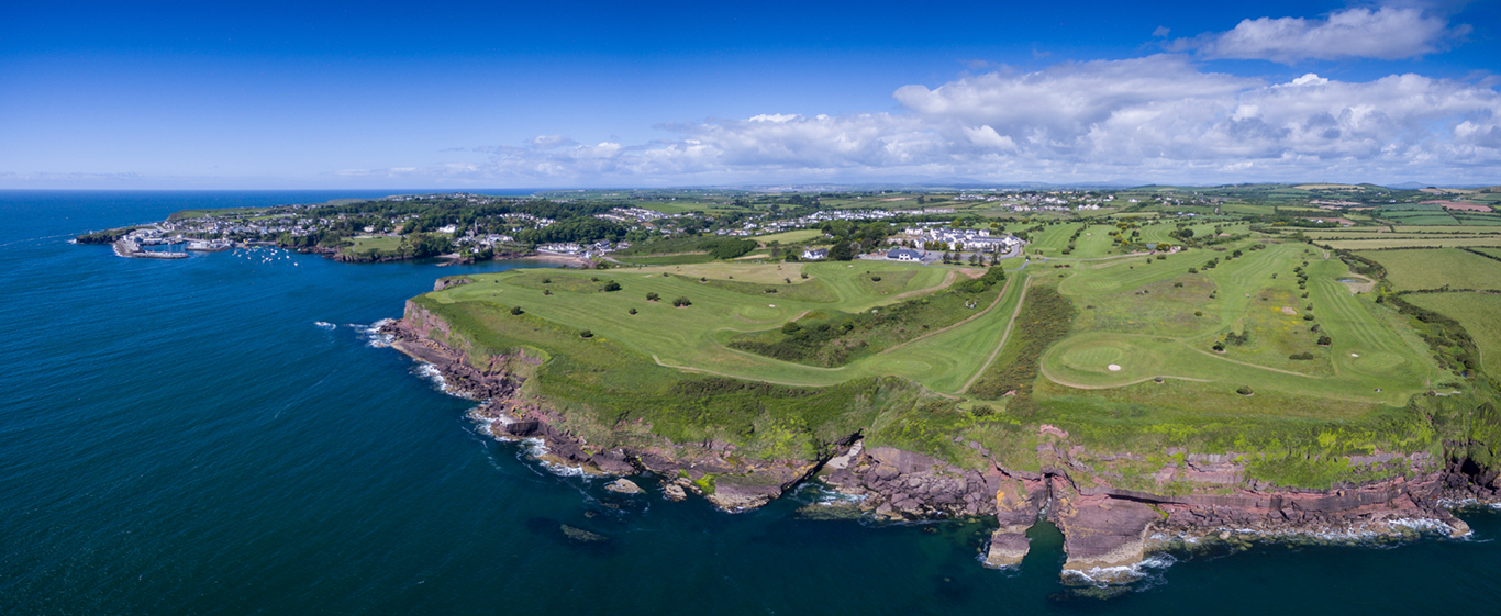 Dunmore East Golf ClubGolf course · 1.8 mi
More archaeology and monuments in County Waterford · All of County Waterford

What do you know about this place?Tap to add a comment or ask a question