What is recorded here
Situated at the NE end of long NE-SW drumlin ridge. It is represented as an enclosure on McCrea’s map of County Monaghan (1793) and on the 1834 edition of the OS 6-inch map where it is depicted as an embanked enclosure (ext. diam. c. 45m) described in gothic lettering as a 'fort'. On the 1907 edition of the 6-inch map it is reduced to a curve in a field bank NE-SW. No archaeological feature is visible at ground level in pasture, but the field wall boundary NE-SE curves E (Chord c. 28m) around what was its E edge.
The above description is derived from the published 'Archaeological Inventory of County Monaghan' (Dublin: Stationery Office, 1986). In certain instances the entries have been revised and updated in the light of recent research.
Revised by: Michael Moore
Date of revision: 30 January 2018
A local fairy fort (ringfort/rath); wider significance not recorded.
- Townland
- Killyfuddy
- Official type
- Ringfort - rath
- Official record
- MO012-075----
- What survives
- Recorded monument
- Location
- Official recorded centre point
The monument record does not grant public access. Check the route and ask the landowner before entering private land.
Places near here
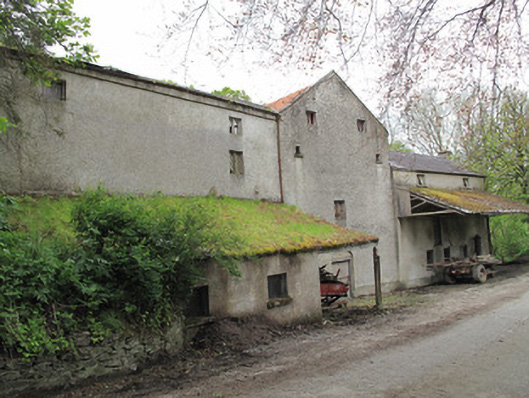 Historic building — DRUMMULLANOfficially recorded historic building · 299 yd
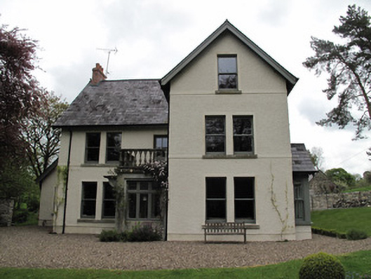 Millview — DRUMMULLANmill manager's house · 354 yd
 8Archaeological place · 621 yd
 9Archaeological place · 646 yd
 Roosky Castle (Site of) — Roosky (dartree By., Killeevan Par.)Castle — ringwork · 997 yd
 Lisarrilly HillMountain / peak · 1713 yd
 Common Lime — Analore, Co. MonaghanCommon Lime · 1.8 mi
 KillycoonaghWood · 1.8 mi
 Jaundice WellSpring · 1.9 mi
 Saint John's WellSpring · 2.0 mi
 Tomb HillMountain / peak · 3.4 mi
 Abbey RuinsHeritage attraction · 4.0 mi