
What is recorded here
Situated at the S end of a glacial ridge in undulating countryside with nearby Moyne stream to the S. The site consists of a large circular area (approx. diam. 155m N-S) defined by a field bank of modern appearance from N through E to S, elsewhere there are no visible remains of the bank at ground level (O'Brien 2000,…
Read the whole record
From the National Monuments Service (Archaeological Survey of Ireland) record TN036-020
Places near here
Photo credits
- Maker not stated on source page, hu.pinterest.com
- Mike Searle, Geograph · CC BY-SA 2.0
- National Inventory of Architectural Heritage
- Maker not stated on source page, www.ryokonote.com
- Maker not stated on source page, commons.wikimedia.org
- Maker not stated on source page, www.inkl.com
- Maker not stated on source page, www.dreamstime.com
- Maker not stated on source page, en.wikipedia.org
- Maker not stated on source page, www.pinterest.com
 Flat cemetery in Killoran (moyne Par.)Flat cemetery · 754 yd
Explorer Tom Flat cemetery in Killoran would teach history by making you dig holes for an hour and then telling you they were just…
 Killoran HouseCountry house · 1076 yd
Explorer Tom Killoran House reviews its own visitors by rating their hats out of ten based on how well they match the elaborate…
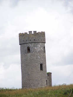 Killoran TowerFolly · 1251 yd
Explorer Tom Killoran Tower is a folly, which means it’s basically a fancy garden gnome for people who can’t afford castles. It’s…
 Enclosure in CooleenyEnclosure · 1.2 mi
Explorer Tom Enclosure in Cooleeny had a fox take charge of things last winter and it still hasn’t left. The topsoil is gone, so…
 St. Mary's CemeteryCemetery · 1.4 mi
Explorer Tom St. Mary's Cemetery would bring absolutely nothing to a party, which is honestly refreshing in this era of…
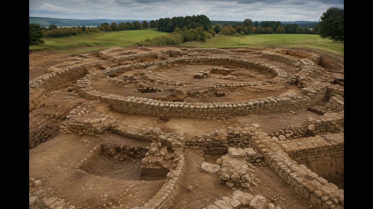 Earthwork in MoynetempleEarthwork · 1.4 mi
Explorer Tom Earthwork in Moynetemple in County Tipperary is having a dramatic standoff with the nearest tree over who looks taller.…
 MullanyHouse · 1.4 mi
Explorer Tom Mullany in Moynetemple had a fox take charge last winter. With ornate timber shopfronts and decorative quoins, it’s a…
 Moyne Church (in Ruins)Graveyard · 1.4 mi
Explorer Tom Moyne Church in Moynetemple is playing hard to get, sitting on a low rise with a graveyard that looks like it’s been…
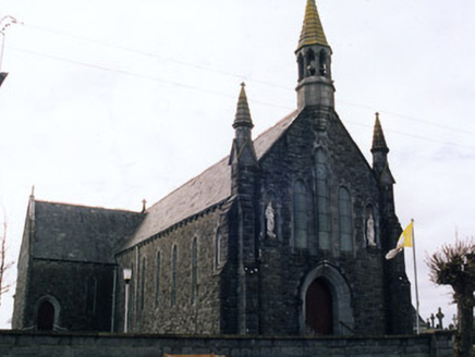 Saint Mary's Catholic ChurchChurch/chapel · 1.4 mi
Explorer Tom Saint Mary's in Moynetemple is playing dress-up with Gothic spikes next to an actual medieval ruin! The ashlar…
 Castle (in ruins)House, fortified house · 1.6 mi
Explorer Tom Castle in Castletown is having a massive family feud over who actually owns the view of the Black River. The walls are…
 Castletown Castle (ruins)Archaeological place · 1.6 mi
Explorer Tom Castletown Castle had a brief fling with a famous rock star in the seventies who got lost on his way to a gig and…
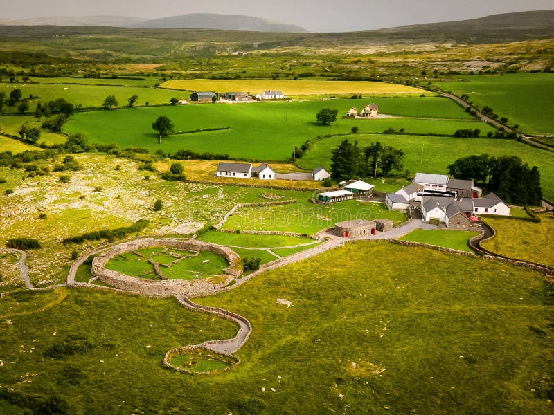 Fairy fort / earthen ringfort in LisdonowleyFairy fort / earthen ringfort · 1.6 mi
Explorer Tom Fairy fort / earthen ringfort in Lisdonowley is playing hard to get in Tipperary. The bank is barely half a metre high…
More archaeology and monuments in County Tipperary · All of County Tipperary

What do you know about this place?Tap to add a comment or ask a question