
What is recorded here
Indicated is a fairy fort on a narrow Mayo ridge, its stone-faced scarp still standing above a damp basin where visibility fails and memory sharpens. The platform slopes downward like a breath held too long, breaking the illusion of a complete circle. Someone may have stood at its eastern slab, reading the distance instead of being read by it.
Prominently sited on top of a low, narrow elongated NNW−SSE rise, at the W edge of a natural basin of lowlying damp ground. There are excellent views in all directions.
Subcircular platform (21.2m ENE−WSW; 24.5m NNW−SSE) defined by a substantial scarp (ext. H 0.7m at SSE, 1.2m at NNW) which is roughly faced with angular stones and topped in parts with a low stony lip (Wth 0.6-1.2m; H 0.1m), possibly remnants of a wall or stone bank. The scarp is largely sod-covered and the stone facing protrudes randomly. A single upright slab (H 0.65m; Wth 1.24m; T 0.4m) is set in the top of the scarp at E.
The scarp is lowest on the SE arc, and a relatively stone-free slope (Wth c. 2m) here may mark an entrance.
The profile of the platform is of a flattened dome, so that it is highest in the centre and sloping down gently from there to the perimeter/top of scarp –this is more pronounced on the W half, with a drop in height of c. 0.6-0.8m.
The interior has an uneven surface, obscured by long grass and, in the centre, by clumps of blackthorn and gorse. A shallow ditch/trench (Wth 0.8m; D 0.25-0.3m) cuts across the interior roughly centrally on a NE−SW axis. It is bordered on its S side by a slight rise, probably the remnant of a field bank. There are traces of cultivation ridges, on a roughly N−S axis, most evident in the SW quadrant.
Compiled by: Jane O’Shaughnessy
Date of upload: 31st May 2023
The monument record does not grant public access. Check the route and ask the landowner before entering private land.
- What survives
- Recorded monument
Places near here
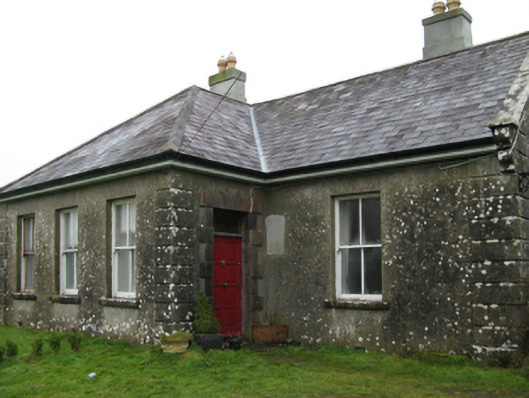 Ballyglass Housefarm house · 984 yd
 Enclosure in CoolconEnclosure · 1329 yd
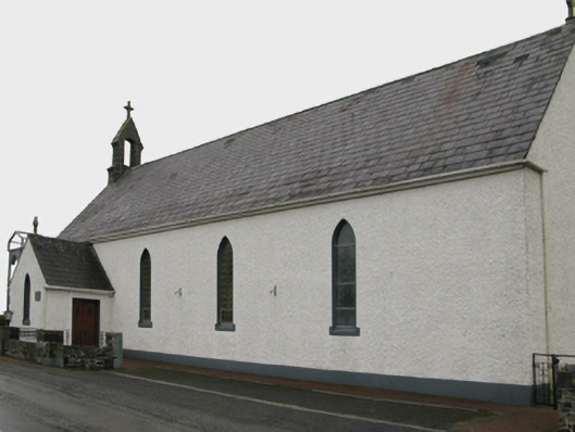 Saint Patrick's Catholic Churchchurch/chapel · 1651 yd
 Castle (in ruins)Castle, unclassified · 1680 yd
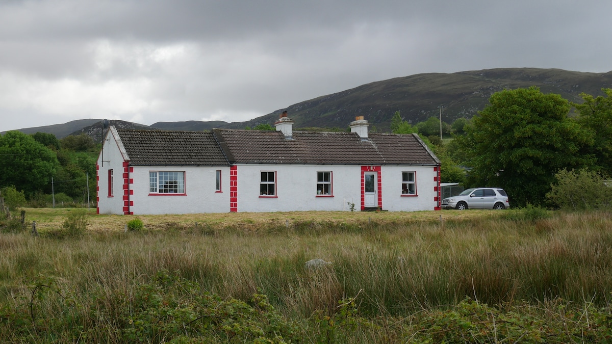 LisnacoolabaunArchaeological place · 1.8 mi
 Castle in ruinsCastle, unclassified · 2.0 mi
 Geoffrey's WoodForest · 3.2 mi
 Oak WoodForest · 3.6 mi
 Mass RockNamed rock · 8.3 mi
 Red Island RockIslet · 13 mi
 The Heathfarm house · 1734 yd
 Beech Tree Cottagehouse · 1.3 mi
Other information
Photo: Credit not shown in the picture search · Rights wording not checked; contact us if this picture should be removed