What is recorded here
Indicated is a circular earthen fort in County Mayo, Ireland, hidden beneath blackthorn scrub and ringed with ash and beech trees. Its steep bank rises three metres on the southeast, while a field fence still cuts across the western interior. Three other raths watch from nearby rises, suggesting a settled landscape rather than a lonely outpost. The fort has survived by becoming difficult to see, handing its memory back to the overgrowth that now owns it.
In a thicket of overgrowth, on top of a rise or undulation, with a fall of ground to NE. It is overlooked by higher ground where two raths (MA071-156---- and MA071-158----) are located 50m to SW and 80m to S, respectively. Another rath (MA071-155----) is 150m to W.
Roughly circular platform (diam. c. 30m) defined by a substantial bank/scarp (Wth c. 3.5-4m; int. H 0.1-0.3m; ext. H 1.7m a SW, 2m at NE, 3m at SE) with a very low internal rim. At N−SE the scarp has a steep external slope, enhanced by the natural fall of ground.
A field fence on a NE−SW axis crosses the rath to W of centre.
The NW quadrant of the interior is relatively clear of overgrowth, but the remainder of the rath is engulfed in blackthorn scrub, and the bank is ringed with ash and beech trees. There are several animal burrows, and area of disturbance/possible quarrying can be glimpsed beneath the overgrowth on the scape slope on the E half.
Compiled by: Jane O’Shaughnessy
Date of upload: 14 September 2021
The monument record does not grant public access. Check the route and ask the landowner before entering private land.
- What survives
- Recorded monument
Places near here
 IndicatedFairy fort / earthen ringfort · 90 yd
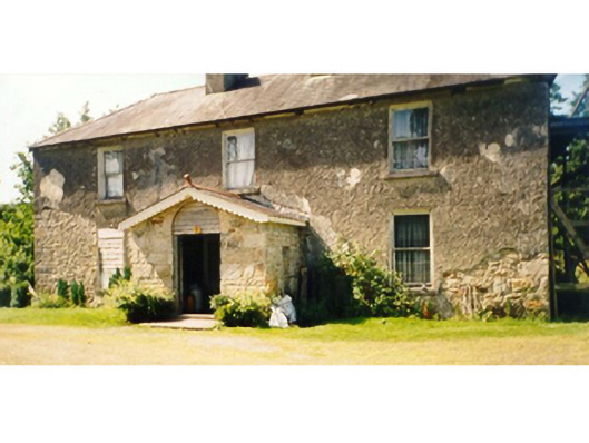 Killedan Housefarm house · 450 yd
 Killedan ChurchChurch · 1120 yd
 CrossCross · 1.8 mi
 Thorn CaveCave · 1.9 mi
 I'll Send You The FareMemorial · 2.2 mi
 Kiltimagh MuseumMuseum · 2.4 mi
 Carrowbeg WoodWood · 3.3 mi
 CashlankeeghCastle, unclassified · 3.6 mi
 Shonagawna Castle in RuinsCastle, unclassified · 4.9 mi
 Youth Memorial GardenMemorial · 5.1 mi
 Brabazon WoodsForest · 5.1 mi