What is recorded here
In pasture, close to a break in slope where ground falls away to ESE for 100m to the Pollagh River.
A circular embanked enclosure (diam. c. 25m) is shown on the 1838 OS 6-inch map; it is not shown on later map editions. There is no visible surface trace at ground level.
Compiled by: Jane O’Shaughnessy
Date of upload: 14 September 2021
The monument record does not grant public access. Check the route and ask the landowner before entering private land.
- What survives
- Recorded monument
Places near here
 IndicatedFairy fort / earthen ringfort · 560 yd
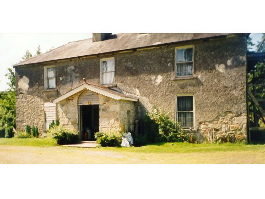 Killedan Housefarm house · 610 yd
 Killedan ChurchChurch · 778 yd
 CrossCross · 1.2 mi
 I'll Send You The FareMemorial · 1.7 mi
 Kiltimagh MuseumMuseum · 1.9 mi
 Thorn CaveCave · 1.9 mi
 Carrowbeg WoodWood · 3.1 mi
 CashlankeeghCastle, unclassified · 3.3 mi
 Castle in ruinsCastle, tower house · 3.8 mi
 Brabazon WoodsForest · 5.2 mi
 Youth Memorial GardenMemorial · 5.3 mi