What is recorded here
On a steep SW-facing slope in coniferous forest. Field boundaries have altered since 2nd (1906) ed. OS 6-inch map, with forest roads constructed, one c. 30m to W and another immediately E of ringfort. Monument completely surrounded by coniferous plantation. Ringfort is heavily overgrown with scrub, dead wood, ivy and brambles and is difficult to assess. Low enclosing bank (Wth 1.2m crest, 2.5m base; int. H 0.42m; ext. H 0.65m) visible in NW and E quadrants. A portion of bank visible on the downslope SW quadrant is higher (1.4m above ext.).
Compiled by: Jean Farrelly
Date of upload: 26 August 2011
The monument record does not grant public access. Check the route and ask the landowner before entering private land.
- What survives
- Recorded monument
Places near here
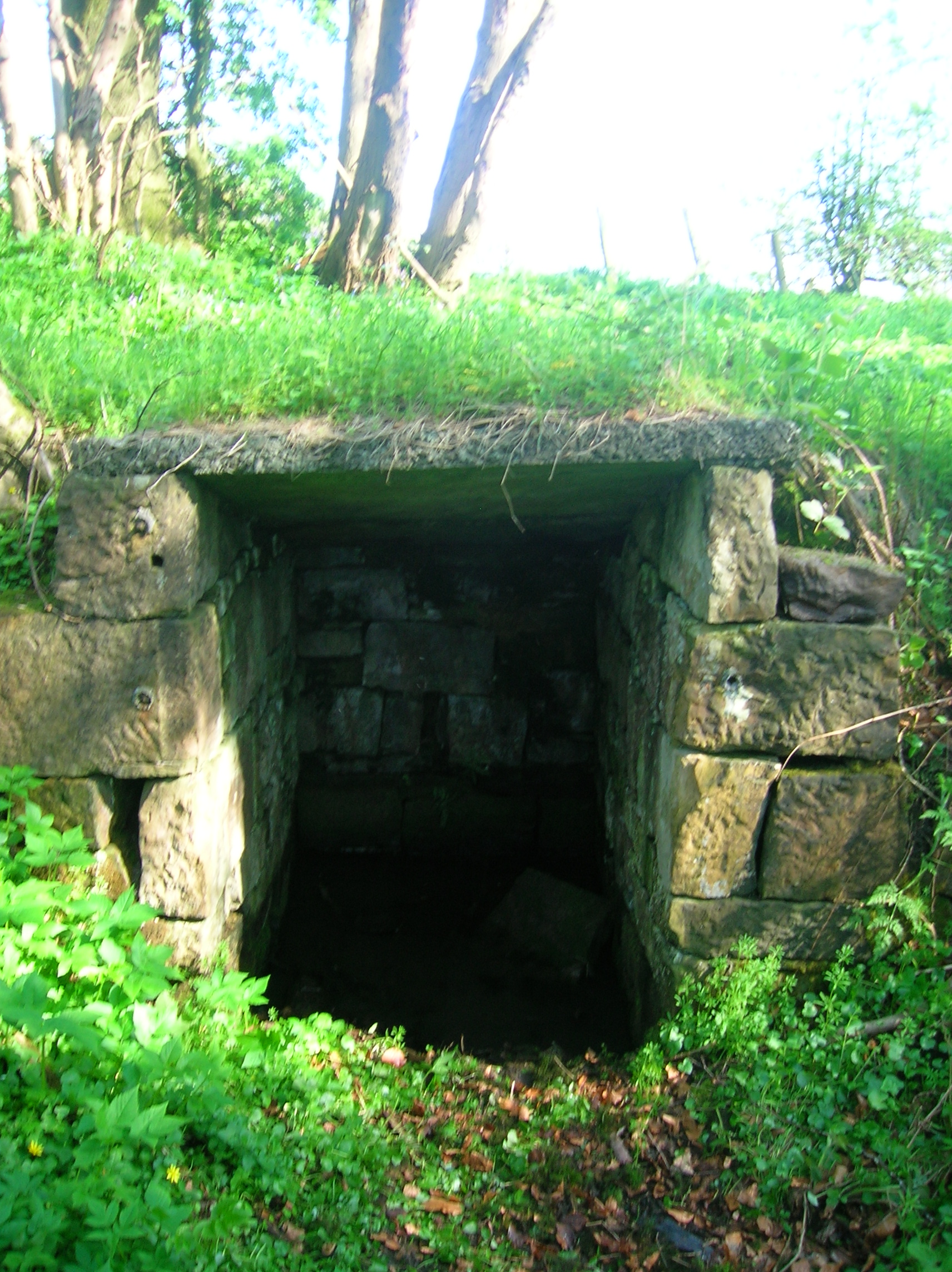 Ladys WellHoly well · 780 yd
 Milltown Househouse · 1411 yd
 Enclosure in Milltown BrittonEnclosure · 1581 yd
 TempleeaChurch · 1659 yd
 CarrickbrockMountain / peak · 1.6 mi
 Ballyboe FortCastle, motte and bailey · 1.7 mi
 CastleCastle, motte · 1.8 mi
 CarrigdotiaMountain / peak · 2.0 mi
 Pedunculate OakPedunculate Oak · 2.1 mi
 Persian WalnutPersian Walnut · 2.1 mi
 East GateMemorial · 4.5 mi
 RetrospectMemorial · 5.1 mi