
What is recorded here
In tillage. A circular enclosure (diam. c. 35-40m) identified as a cropmark on satellite imagery (Google Earth satellite imagery, 14 July 2019) by Jean-Charles Caillère. It is also visible on satellite imagery taken in April 2013 where it appears to have an outer fosse (Google Earth satellite imagery, 26 April 2013). There is another enclosure (TS077-126----), also identified as a cropmark, c. 85m to the NW and a church (TS077-020001-), ecclesiastical enclosure (TS077-020002-) and graveyard (TS077-020003-) c. 80m to the SW.
See attached:
TS077-127----_01 Google Earth satellite imagery, 26 April 2013
TS077-127----_02 Google Earth satellite imagery, 14 July 2019
Compiled by: Jean Farrelly
Date of upload: 9 September 2020
A local fairy fort (ringfort/rath); wider significance not recorded.
The monument record does not grant public access. Check the route and ask the landowner before entering private land.
- What survives
- Recorded monument
Places near here
 TempleeaChurch · 134 yd
 Milltown Househouse · 395 yd
 CarrigaunEnclosure · 867 yd
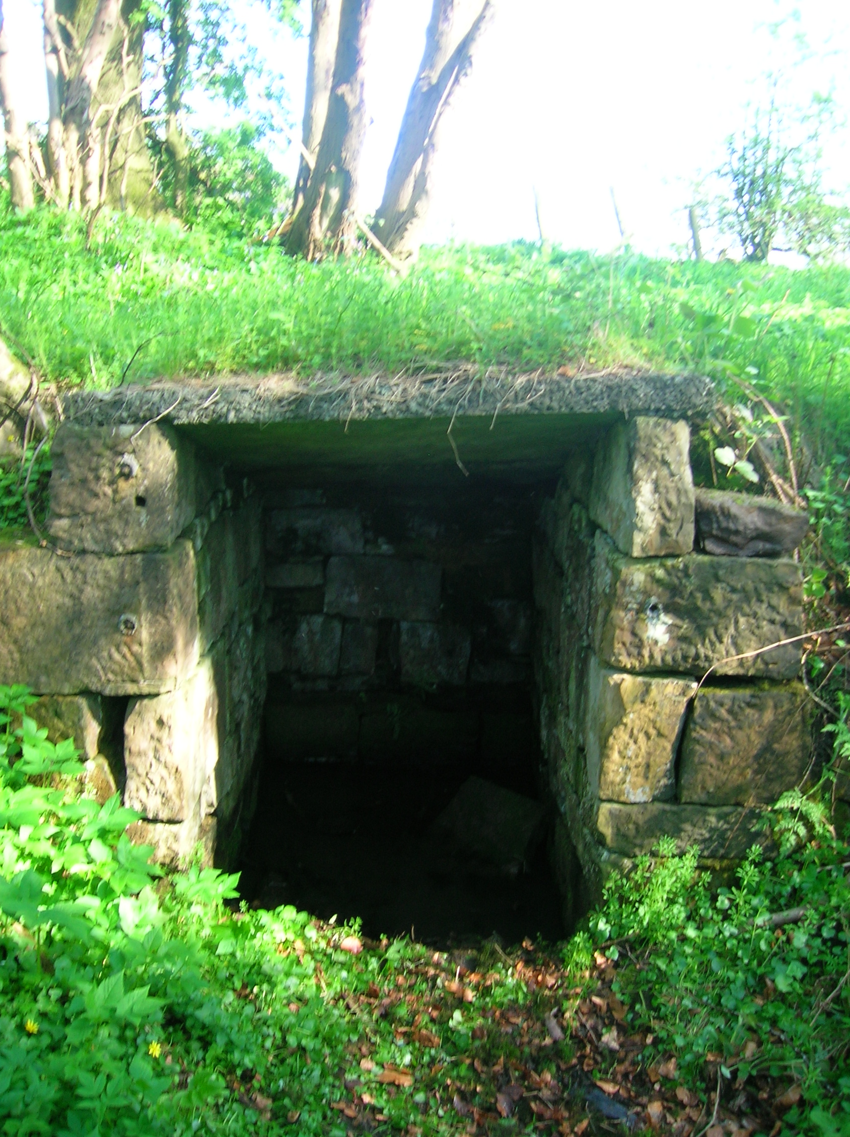 Ladys WellHoly well · 918 yd
 Persian WalnutPersian Walnut · 1.3 mi
 Site of Carrigeen CastleCastle, unclassified · 1.3 mi
 Pedunculate OakPedunculate Oak · 1.6 mi
 Castle (in ruins)Castle, unclassified · 1.8 mi
 CarrigdotiaMountain / peak · 2.5 mi
 East GateMemorial · 3.9 mi
 RetrospectMemorial · 4.8 mi
 Kilknockan HillMountain / peak · 4.9 mi
Other information
Photo: Credit not shown in the picture search · Rights wording not checked; contact us if this picture should be removed