
What is recorded here
On flat ground in very gently undulating terrain, under grass. Oval enclosure (diam. 74m N-S; 55m E-W) hachured and called 'Grave Yard' on 1st (1840) ed. OS 6-inch map. No visible trace of headstones or upright stones indicating the graveyard (TS077-020003-). Site of church (TS077-020001-) indicated on the latest ed.…
Read the whole record
From the National Monuments Service (Archaeological Survey of Ireland) record TS077-020002
Places near here
Photo credits
- National Inventory of Architectural Heritage
- Martin Richard Phelan, Geograph · CC BY-SA 2.0
- surrealpenguin, Wikimedia Commons · CC BY-SA 2.0
- Mike Searle, Geograph · CC BY-SA 2.0
- Maker not stated on source page, en.wikipedia.org
- Maker not stated on source page, commons.wikimedia.org
- Algirdas at Lithuanian Wikipedia, Wikimedia Commons · Public domain
- Maker not stated on source page, au.pinterest.com
- Maker not stated on source page, www.alamy.com
- Clerihan Parish and GAA Club Committee / Our Fundraiser; individual photographer not named, www.ourfundraiser.ie
 Milltown HouseHouse · 367 yd
Explorer Tom Milltown House in Milltown Britton claims there’s a hidden tunnel leading straight to the local pub, but the only thing…
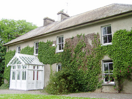 Kilmore HouseHouse · 1579 yd
Explorer Tom Kilmore House is hiding a treasure that’s definitely just a biscuit tin from 1952. The replica porch adds a layer of…
 Kiltinan CastleGates/railings/walls · 1.0 mi
Explorer Tom Kiltinan Castle has a hidden message in its stones that says 'Please do not touch the croix pommées'. It’s all…
 Persian Walnut1.2 mi
Explorer Tom A Persian Walnut in Tipperary is hiding a scandal that involves a very angry goat who refused to eat its nuts for…
 Killusty CastleCastle · 2.1 mi
Explorer Tom Killusty Castle in County Tipperary has had a long, bitter feud with the rain and is losing badly. Every drop seems to…
 Lisronagh CemeteryGraveyard · 2.2 mi
Explorer Tom Lisronagh Cemetery would survive a zombie attack by simply closing its gate and hoping nobody remembers where the exit…
 Earthwork in BallygambonEarthwork · 2.3 mi
Explorer Tom Earthwork in Ballygambon was visited by a fake king who actually just ate all the pies and left. You can’t see it from…
 Earthwork in LisronaghEarthwork · 2.3 mi
Explorer Tom Earthwork in Lisronagh is up to something when nobody's looking, probably plotting with the tower house next door about…
 Pedunculate Oak2.5 mi
Explorer Tom This third Pedunculate Oak in County Tipperary has a retirement plan involving sitting still until the ground gives up…
 CastleCastle, unclassified · 2.5 mi
Explorer Tom Castle in Clonacody would describe itself to a stranger as 'a bit of a mess with some historical baggage attached'. It…
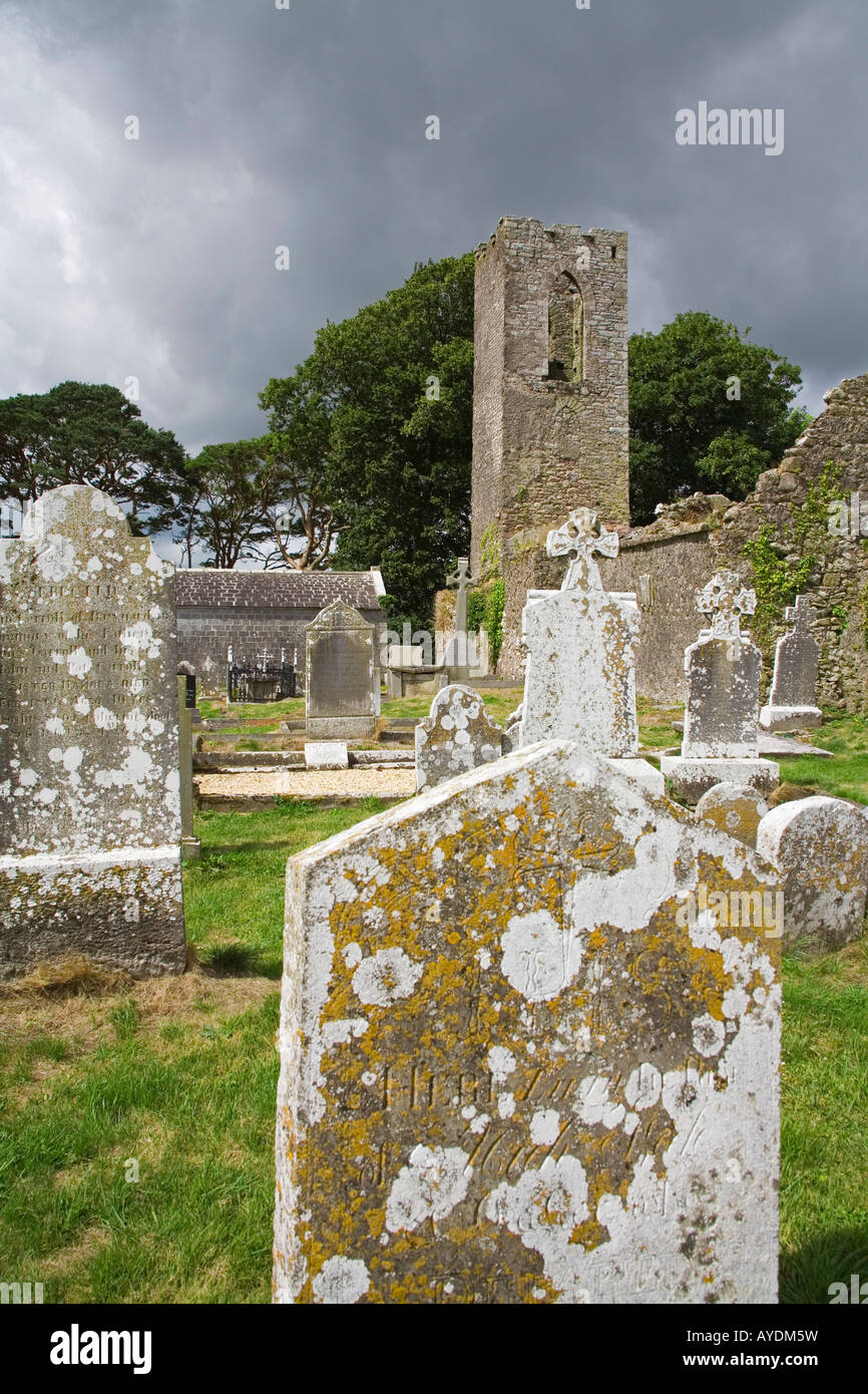 Graveyard in RathdrumGraveyard · 4.1 mi
Explorer Tom Graveyard in Rathdrum is where the seagulls hold their weekly board meetings to discuss the quality of local bread…
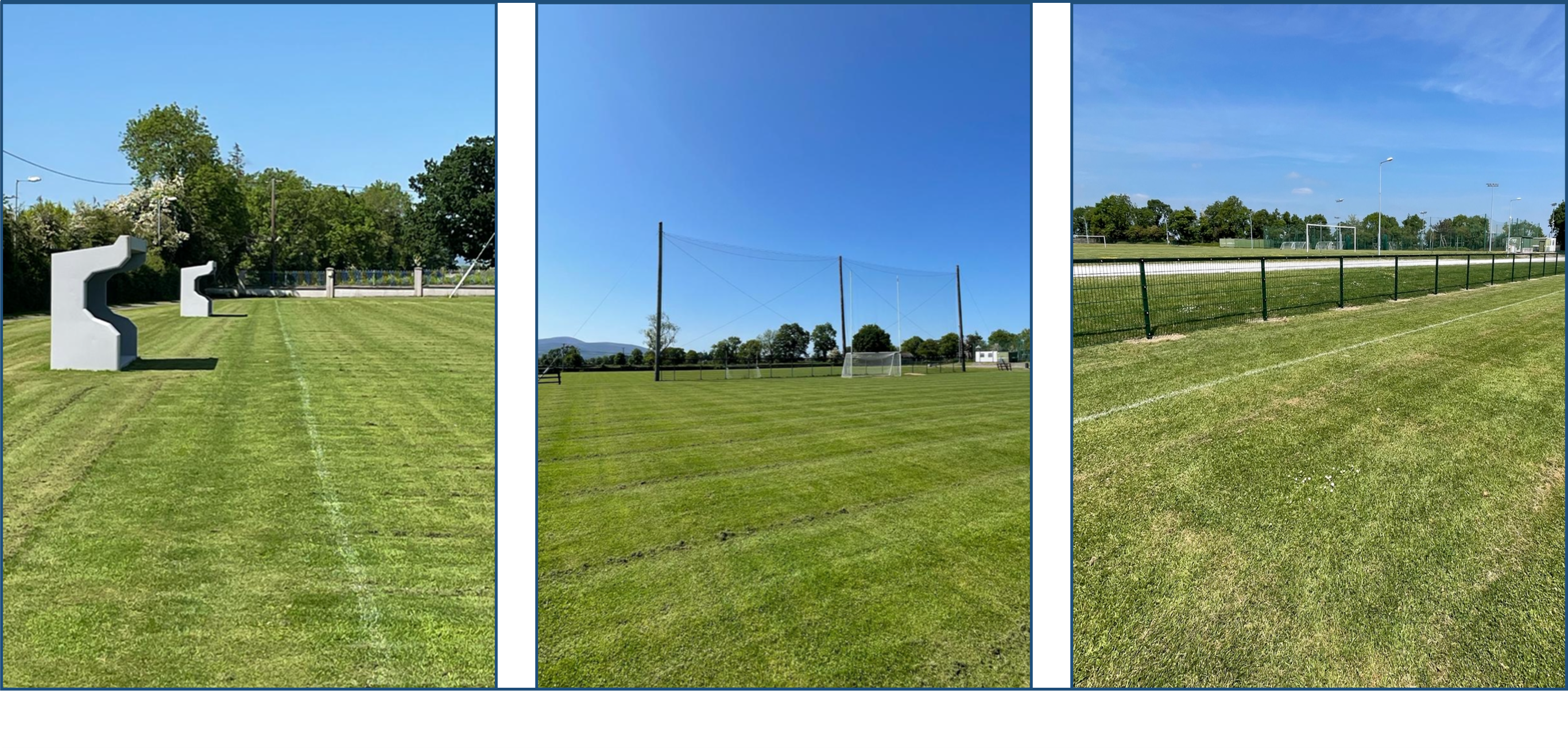 Clerihan GAA pitchGAA ground · 4.1 mi
More archaeology and monuments in County Tipperary · All of County Tipperary

What do you know about this place?Tap to add a comment or ask a question