
What is recorded here
On flat ground sloping very gently to N in undulating terrain. Currently in centre of tillage field, fields depicted on the 1904 ed. OS 6-inch map to N and S have been removed. River flowing E-W c. 120m N of monument. Low motte which consists of a flat-topped, roughly circular mound (diam. at top 22m N-S; 20m E-W; diam. at base 33m N-S; 34m E-W), defined by steep scarp (H 2.12-2.42m S and W quad. respectively). Top is relatively clean, though nettle covered. Scrub growing around edge. Small area of disturbance into side of mound in the SW quadrant.
Compiled by: Jean Farrelly
Date of upload: 26 August 2011
The monument record does not grant public access. Check the route and ask the landowner before entering private land.
- What survives
- Recorded monument
Places near here
 Enclosure in Ballinvoher,ballyvaughan (kilgrant Par.)Enclosure · 765 yd
 Enclosure in Kilmore (lisronagh Par.)Enclosure · 801 yd
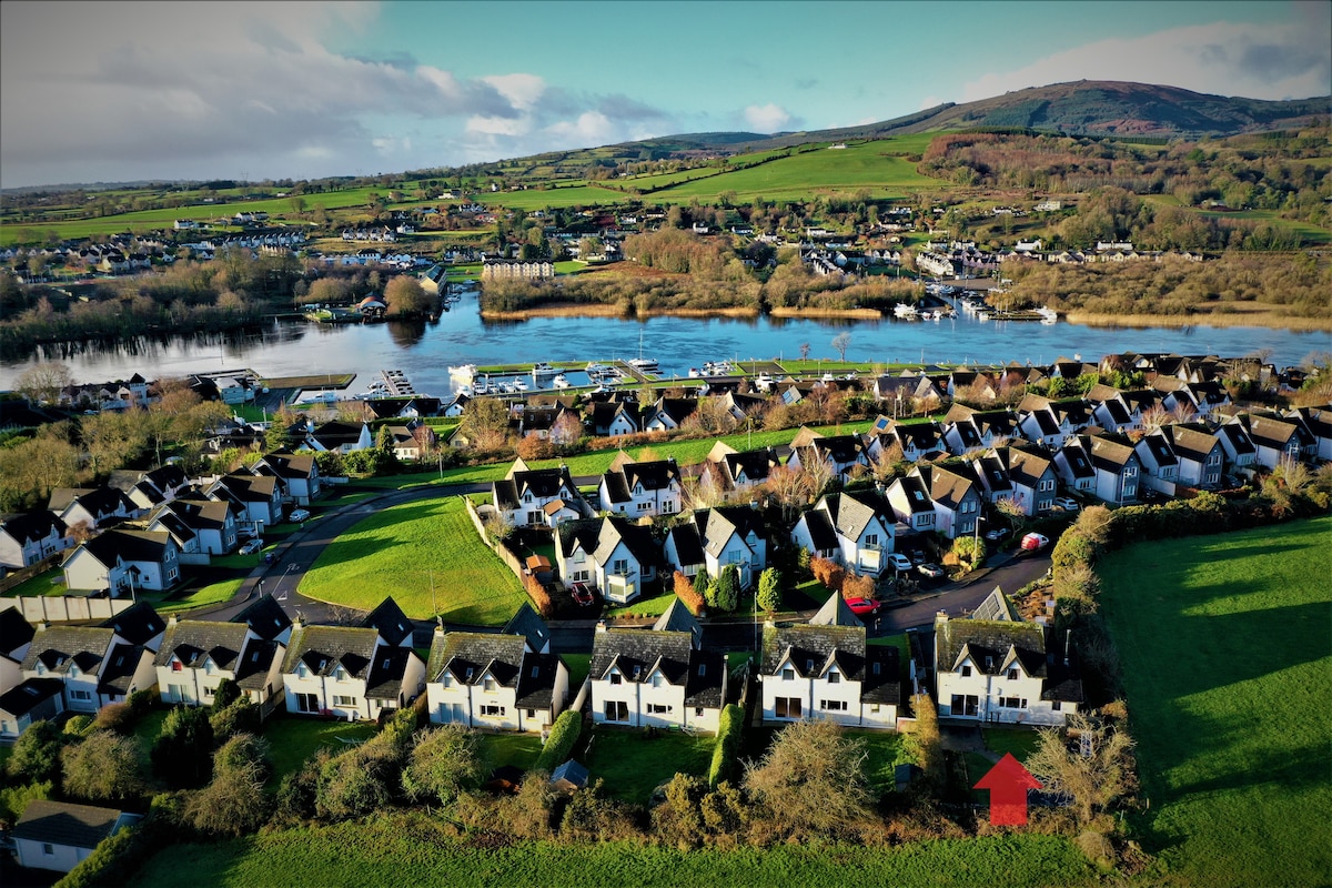 Ballina HouseCastle, unclassified · 1297 yd
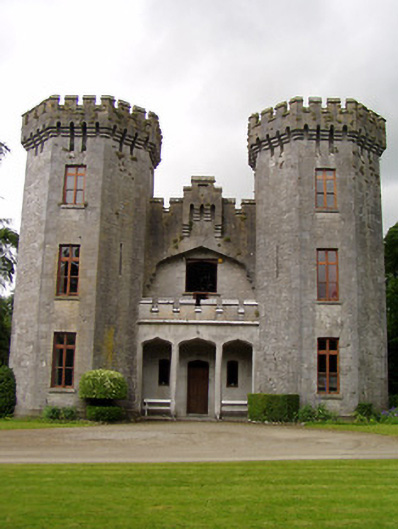 Anner Castlecountry house · 1314 yd
 Church (in ruins)Church · 1686 yd
 Common LimeCommon Lime · 1.1 mi
 Ballyboe FortCastle, motte and bailey · 1.2 mi
 BaldcypressBaldcypress · 1.2 mi
 CarrickbrockMountain / peak · 3.3 mi
 RetrospectMemorial · 3.5 mi
 Charles BianconiMemorial · 3.6 mi
 Main GuardHeritage attraction · 3.6 mi
Other information
Photo: Credit not shown in the picture search · Rights wording not checked; contact us if this picture should be removed