What is recorded here
In pasture, located on a small but prominent hillock, which provides excellent views in all directions of the surrounding undulating grassland, with Nephin Mountain visible on the horizon to S. It appears to have been located just below the summit on the more gradually sloping NE side of the hillock. This monument is shown on both the 1838 and 1929 OS 6-inch maps as a small circular feature (diam. c. 8-10), clipped on the W side by a NNE−SSW field fence. There are now only slight remains in the form of a slightly raised area (c. 4m NE–SW; c. 4m NW–SE), rather irregular in plan, marked by a growth of rough vegetation. Remnants of the NNE−SSW field fence survive on the W side, as shown on the OS 6-inch maps; on the E side is another field bank on a NE-SW axis, which is part of a more recent layout of field divisions. The original function of this monument is now uncertain. Its depiction on the OS maps suggest that it was a mound; it may have been some form of barrow.
In pasture, located on a small but prominent hillock, which provides excellent views in all directions of the surrounding undulating grassland, with Nephin Mountain visible on the horizon to S. It appears to have been located just below the summit on the more gradually sloping NE side of the hillock. This monument is shown on both the 1838 and 1929 OS 6-inch maps as a small circular feature (diam. c. 8-10),…
From the National Monuments Service (Archaeological Survey of Ireland) record MA022-013
The monument record does not grant public access. Check the route and ask the landowner before entering private land.
- What survives
- Recorded monument
Places near here
Photo credits
- National Inventory of Architectural Heritage
- Edward S. Siebert, Wikimedia Commons · Public domain
- JohnArmagh, Wikimedia Commons · CC BY-SA 3.0
- Andreas F. Borchert, Wikimedia Commons · CC BY-SA 4.0
- Steve Edge, Geograph · CC BY-SA 2.0
- Mike Searle, Wikimedia Commons · CC BY-SA 2.0
- Mike Searle, Geograph · CC BY-SA 2.0
- Didier Descouens, Wikimedia Commons · CC BY-SA 4.0
- Robin Mais, Geograph · CC BY-SA 2.0
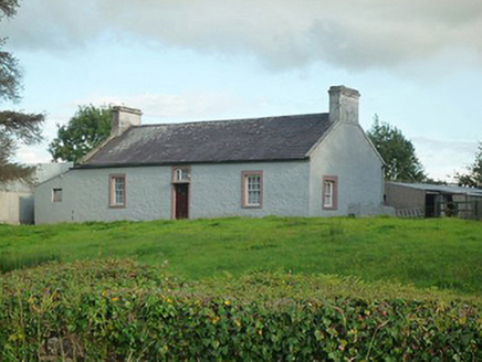 farm house876 yd
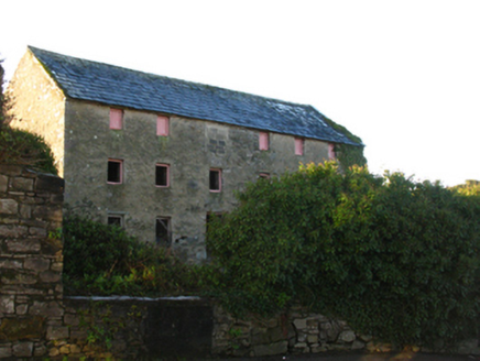 store/warehouse1157 yd
 Battle of KillalaBattle · 1189 yd
 Round tower in Townplots WestRound tower · 1283 yd
 Cathedral in Townplots WestCathedral · 1299 yd
 Rinnaun PointHeadland · 1.6 mi
 Moyne AbbeyHeritage attraction · 2.6 mi
_-_geograph.org.uk_-_4073208.jpg/250px-Castles_of_Connacht,_Rathroe,_Mayo_(1)_-_geograph.org.uk_-_4073208.jpg "Photo: Mike Searle, Wikimedia Commons · CC BY-SA 2.0") Rathroe CastleCastle · 3.6 mi
Rathroe CastleCastle · 3.6 mi CastleCastle, unclassified · 4.4 mi
 Rosserk AbbeyHeritage attraction · 4.7 mi
 Hawthorn4.8 mi
 Enniscrone BeachBeach / strand · 5.0 mi
More archaeology and monuments in County Mayo · All of County Mayo
What do you know about this place?