
What is recorded here
Indicated marked a small rectangular burial ground beside a Church of Ireland church in County Cork. It appeared on maps from 1842 to 1940, yet fence clearance in the early 1980s levelled the very earth where local people believed the dead lay. The name still points to that lost boundary, preserving a place whose markers disappeared but whose memory resisted forgetting.
Shown on 1842, 1903 and 1940 OS 6-inch maps as small rectangular field (c. 30m N-S; c. 25m E-W) c. 60m NW of C of I church (CO097-001---). Local tradition of burial ground; levelled during field fence clearance in early 1980s.
The above description is derived from the published 'Archaeological Inventory of County Cork. Volume 3: Mid Cork' (Dublin: Stationery Office, 1997). In certain instances the entries have been revised and updated in the light of recent research.
Date of upload/revision: 14 January 2009
The monument record does not grant public access. Check the route and ask the landowner before entering private land.
- What survives
- Recorded monument
Places near here
 Church (in Ruins)Church · 106 yd
 Grave YardGraveyard · 382 yd
 Boulder-burial in RusselhillBoulder-burial · 913 yd
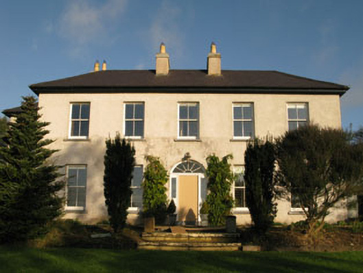 Belrose Housecountry house · 1049 yd
 Sunday WellSpring · 1.0 mi
 Ballyhandle Castle (in Ruins)Castle, Anglo-Norman masonry castle · 1.2 mi
 Graveyard in KilnagnadyGraveyard · 1.6 mi
 Charlie Hurley MemorialMemorial · 1.8 mi
 Dromkeen WoodWood · 3.5 mi
 Dromkeen Wood Nature ReserveForest · 3.6 mi
 Shippool CastleCastle · 5.4 mi
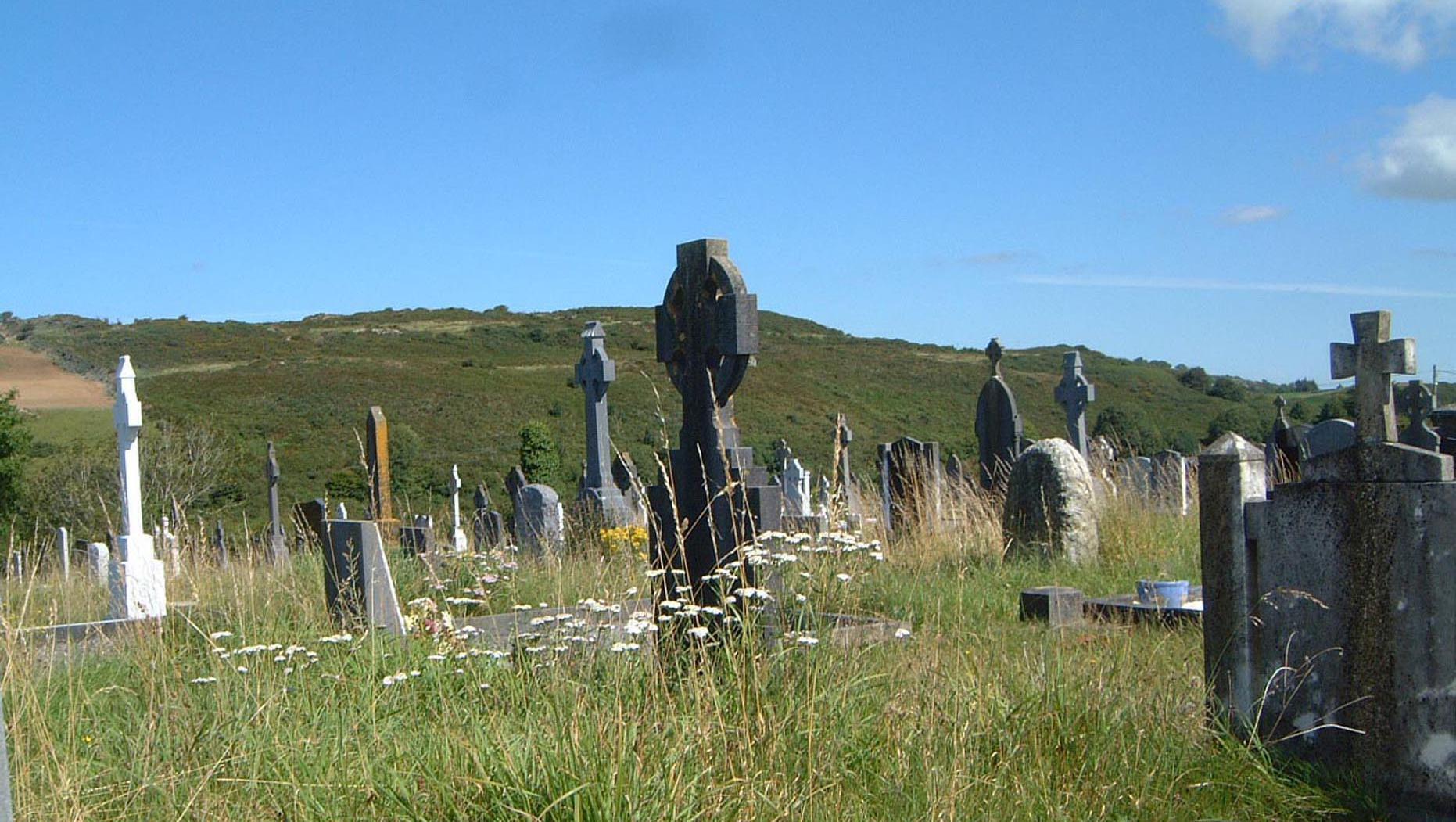 Burial in BelroseBurial · 1091 yd
Other information
Photo: Credit not shown in the picture search · Rights wording not checked; contact us if this picture should be removed