
What is recorded here
In pasture, to N of road. Overgrown, low foundations of rectangular church (c. 16m NE-SW; 9.2m NW-SE; long axis NE-SW); SW corner clearly visible; wall thickness 0.54m. Interior infilled making it level with top of surviving walls. Built, according to Brady (1863, vol. 1, 199), in 1844 and 'consecrated under the name of St James' as the C of I parish church of Knockavilly. Hartnett (1939, 264) notes church 'dismantled in 1871'. Earlier C of I church, on site of medieval parish church of Knockavilly (9504), lies c. 400m to NW in the same townland. Possible burial ground (9366) c. 60m to NW.
The above description is derived from the published 'Archaeological Inventory of County Cork. Volume 3: Mid Cork' (Dublin: Stationery Office, 1997). In certain instances the entries have been revised and updated in the light of recent research.
Date of upload/revision: 14 January 2009
The monument record does not grant public access. Check the route and ask the landowner before entering private land.
- What survives
- Recorded monument
Places near here
 IndicatedBurial ground · 106 yd
 Grave YardGraveyard · 480 yd
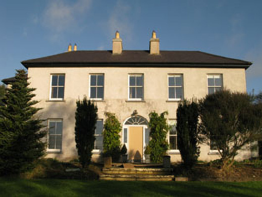 Belrose Housecountry house · 1063 yd
 Sunday WellSpring · 1716 yd
 Beechmountcountry house · 1.1 mi
 Ballyhandle Castle (in Ruins)Castle, Anglo-Norman masonry castle · 1.1 mi
 Graveyard in KilnagnadyGraveyard · 1.7 mi
 Charlie Hurley MemorialMemorial · 1.8 mi
 Dromkeen WoodWood · 3.5 mi
 Dromkeen Wood Nature ReserveForest · 3.6 mi
 Shippool CastleCastle · 5.3 mi
 Boulder-burial in RusselhillBoulder-burial · 939 yd
Other information
Photo: Credit not shown in the picture search · Rights wording not checked; contact us if this picture should be removed