What is recorded here
Indicated is a stone-faced ringfort in West Cork pasture, circling twenty-six metres of dark earth above Roaringwater Bay. Its two narrow gaps face each other across the interior, where an underground passage and burial ground remain hidden beneath the grass. The fort still holds its shape against the wind, waiting for someone brave enough to walk the broken line and listen for what sleeps below.
In pasture, on NW-facing slope, overlooking Roaringwater Bay. Circular area (26m N-S; 26m E-W) enclosed by stone-faced earthen bank (H 1.6m). Break inbank to ENE (Wth 3m) and WSW (Wth 3m). Man-made underground passage (CO140-055002-) and burial ground (CO140-055003-) in interior.
The above description is derived from the published 'Archaeological Inventory of County Cork. Volume 1: West Cork' (Dublin: Stationery Office, 1992). In certain instances the entries have been revised and updated in the light of recent research.
Date of upload/revision: 14 January 2009
The monument record does not grant public access. Check the route and ask the landowner before entering private land.
- What survives
- Recorded monument
Places near here
 CaveMan-made underground passage · 14 yd
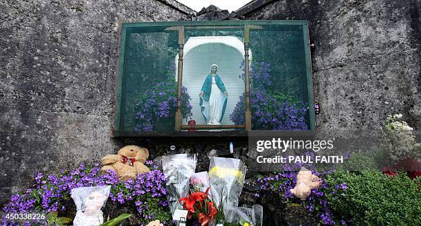 (Site of) Childrens Burial GdBurial ground · 86 yd
 Friary (in Ruins)Church · 463 yd
 church/chapelchurch/chapel · 766 yd
 Mannin BegIslet · 1.0 mi
 Kilcoe CastleCastle · 1.0 mi
 Mannin IslandIslet · 1.1 mi
 Rincolisky CastleCastle · 1.3 mi
 Monterey CypressMonterey Cypress · 2.1 mi
 Trá na gCruachBeach / strand · 2.6 mi
 Wild Atlantic WayVisitor information · 2.6 mi
 Cuaisín na nÚbhallBay · 2.7 mi