What is recorded here
Marked only on the 1927 ed. of the OS 6-inch map as a rectangular feature (dims. c. 23m NE-SW; c. 15-20m NW-SE) and situated in pasture at the bottom of an E-W valley. J. O'Donovan c. 1840 mentions a graveyard in Kilkeany (O'Flanagan 1929, 48), which may have been this location. It is not visible at ground level.
O'Flanagan, M. (Compiler) (1929) Letters containing information relative to the antiquities of the county of Waterford collected during the progress of the Ordnance Survey in 1841. Typescript. Bray.
Compiled by: Michael Moore
Date of upload: 26 October 2010
The monument record does not grant public access. Check the route and ask the landowner before entering private land.
- What survives
- Recorded monument
Places near here
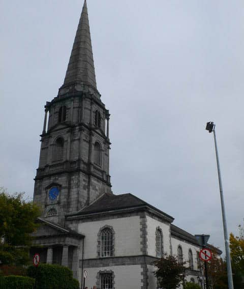 Church in KilkeanyChurch · 1 yd
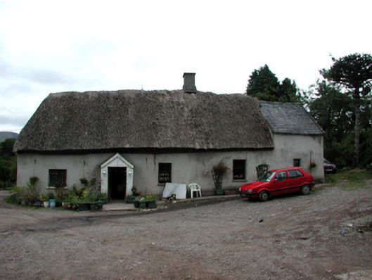 Shanballyanne Cottagehouse · 1211 yd
 KnockeenMountain / peak · 1534 yd
 Enclosure in GraignagowerEnclosure · 1.2 mi
 Field system in GraignagowerField system · 1.2 mi
 Turraphuca WoodForest · 1.2 mi
 Pigeon HillMountain / peak · 1.3 mi
 Site of CastleCastle, unclassified · 1.4 mi
 Laeka WoodWood · 1.5 mi
 Siglloges LoopWalking route · 3.7 mi
 Castle Coonagh (in ruins)Castle, tower house · 3.7 mi