What is recorded here
Visible on an aerial photograph (GB95.FS.29) as a cropmark of a broad fosse which appears superimposed on an earlier enclosure to the N (KD037-038001-). This is probably the oval enclosure shown on the 1st ed. OS 6-inch map (surveyed 1837).
Compiled by: Paul Walsh
Date of upload: 18 October 2013
The monument record does not grant public access. Check the route and ask the landowner before entering private land.
- What survives
- Recorded monument
Places near here
 Enclosure in Kilkea UpperEnclosure · 40 yd
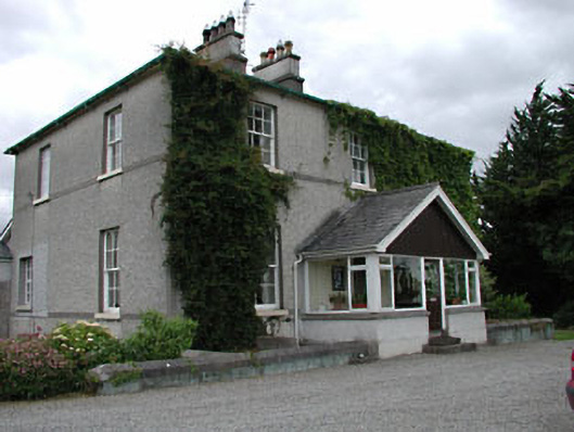 Kilkea Housefarm house · 352 yd
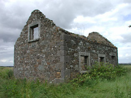 worker's houseworker's house · 621 yd
 Lorcán Ó TuathailMemorial · 793 yd
 Enclosure in HallahoiseEnclosure · 1139 yd
 CastleCastle, ringwork · 1151 yd
 Mullaghreelan WoodForest · 1234 yd
 Kilkea CastleCastle, tower house · 1252 yd
 Dollardstown WoodForest · 1.7 mi
 ProclamationMemorial · 2.5 mi
 Franciscan FriaryHeritage attraction · 2.7 mi
 Castledermot Round TowerHeritage attraction · 2.7 mi