What is recorded here
National Monument No. 589. Situated on steep hill with views in all directions. Very high, steep-sided circular area (diam. 40m) surrounded by an earthen bank and external fosse (H of outer face of bank to fosse base 7m) with slight traces of an outer bank and fosse. Entrance with causeway at SW. Reputed to be a residence of kings of Leinster (OSL 1838, 75). Situated on steep hill with views in all directions. (Po. Ringwork .)
Date of upload: 15 September 2016
National Monument No. 589. Situated on steep hill with views in all directions. Very high, steep-sided circular area (diam. 40m) surrounded by an earthen bank and external fosse (H of outer face of bank to fosse base 7m) with slight traces of an outer bank and fosse. Entrance with causeway at SW. Reputed to be a residence of kings of Leinster (OSL 1838, 75). Situated on steep hill with views in all directions.…
From the National Monuments Service (Archaeological Survey of Ireland) record KD038-035
The monument record does not grant public access. Check the route and ask the landowner before entering private land.
- What survives
- Recorded monument
Places near here
Mullaghreelan WoodForest · 230 ydLorcán Ó TuathailMemorial · 434 ydEnclosure in MullaghreelanEnclosure · 969 yd Kilkea HouseFarm house · 1302 ydKilkea CastleCastle, tower house · 1311 ydMoatCastle, motte · 1465 ydwater pump1488 ydDollardstown WoodForest · 2.1 miProclamationMemorial · 2.2 miCastledermot Round TowerHeritage attraction · 2.4 miTombTomb, hogback · 2.4 miFranciscan FriaryHeritage attraction · 2.4 mi
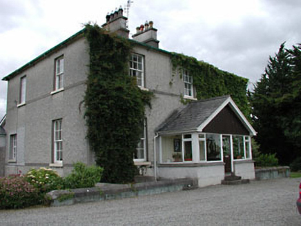 Kilkea HouseFarm house · 1302 yd
 Kilkea CastleCastle, tower house · 1311 ydMoatCastle, motte · 1465 yd
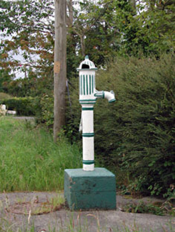 water pump1488 ydDollardstown WoodForest · 2.1 miProclamationMemorial · 2.2 mi
 Castledermot Round TowerHeritage attraction · 2.4 mi
 TombTomb, hogback · 2.4 miFranciscan FriaryHeritage attraction · 2.4 mi
Pictures: National Inventory of Architectural Heritage; dougf, Geograph · CC BY-SA 2.0; Andreas F. Borchert, Wikimedia Commons · CC BY-SA 4.0
More castles and forts in County Kildare · All of County Kildare
What do you know about this place?