What is recorded here
In pasture, occupying natural hollow at base of W-facing slope. Monument, depicted as sub-oval enclosure on 1923 map (c. 20m E-W; c. 30m N-S), has been levelled. No trace of monument evident when inspected. According to landowner enclosure removed in the 1930s.
From the National Monuments Service (Archaeological Survey of Ireland) record LI012-034
The monument record does not grant public access. Check the route and ask the landowner before entering private land.
- What survives
- Recorded monument
Places near here
Photo credits
- National Inventory of Architectural Heritage
- Liam, Geograph · CC BY-SA 2.0
- Garry Dickinson, Wikimedia Commons · CC BY-SA 2.0
- Sitomon, Wikimedia Commons · CC BY-SA 2.0
- Peter Gerken, Wikimedia Commons · CC BY-SA 2.0
- Malene Thyssen, Wikimedia Commons · CC BY-SA 3.0
- Adareman, Wikimedia Commons · CC BY-SA 4.0
- Callanmurphy, Wikimedia Commons · CC BY-SA 4.0
Burial ground in KildimoBurial ground · 238 yd Ashgrove HouseHouse · 1134 ydRic barracks1693 ydKnocknagowerNamed rock · 1.8 miCourt Castle (in ruins)Castle, tower house · 2.0 miCourt CastleCastle · 2.0 miEuropean Yew2.3 miCurraghchase Forest ParkForest · 2.5 miEuropean Beech2.9 miDesmond CastleHeritage attraction · 3.0 miFranciscan AbbeyArchaeological place · 3.1 miGrass IslandIslet · 4.5 mi
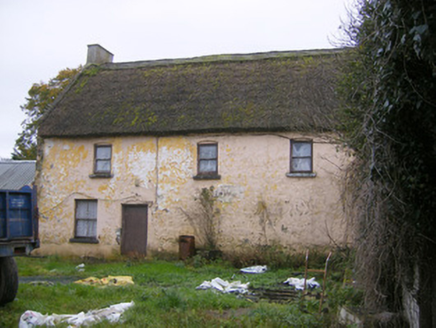 Ashgrove HouseHouse · 1134 yd
 Ric barracks1693 ydKnocknagowerNamed rock · 1.8 mi
 Court Castle (in ruins)Castle, tower house · 2.0 mi
_-_geograph.org.uk_-_6570180.jpg/250px-Castles_of_Munster,_Court,_Limerick_(1)_-_geograph.org.uk_-_6570180.jpg "Photo: Garry Dickinson, Wikimedia Commons · CC BY-SA 2.0") Court CastleCastle · 2.0 mi
Court CastleCastle · 2.0 mi European Yew2.3 mi
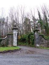 Curraghchase Forest ParkForest · 2.5 mi
 European Beech2.9 mi
 Desmond CastleHeritage attraction · 3.0 mi
 Franciscan AbbeyArchaeological place · 3.1 miGrass IslandIslet · 4.5 mi
More archaeology and monuments in County Limerick · All of County Limerick
What do you know about this place?