What is recorded here
In a narrow roadside plantation, named ‘Philip’s Wood’ on the OS 25-inch map (http://maps.osi.ie/publicviewer/#V1,667271,707022,6,9 accessed 31 August 2012). Shown on an estate map (1788-1839) by Longfield and Brownrigg (NLI Ms 21.F.37, 131-171, Map 150) as a circular enclosure containing trees. The 1st ed. (1838) of the OS 6-inch map shows an unenclosed tree copse at the location. Visible as a low circular platform (diam. 31m; H 0.6m) which rises slightly towards the centre and is surrounded by a shallow fosse (Wth 2.5m; D 0.2m). Possibly a designed landscape feature.
Compiled by: Gearóid Conroy
Date of upload: 31 August 2012
The monument record does not grant public access. Check the route and ask the landowner before entering private land.
- What survives
- Recorded monument
Places near here
 Church (in Ruins)Church · 790 yd
 Brookfield WoodWood · 859 yd
 Catholic Church of Our Lady of Victorieschurch/chapel · 955 yd
 IndicatedEnclosure · 1749 yd
 ToberreendoneyHoly well · 1.0 mi
 Site of CastleCastle, unclassified · 1.4 mi
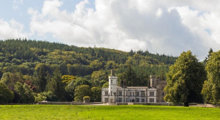 CastleCastle, unclassified · 2.2 mi
 Moore Abbey WoodWood · 2.5 mi
 Horse MuseumMuseum · 4.5 mi
 Japanese GardensHeritage attraction · 4.6 mi
 Bithia Mary CrokerMemorial · 7.7 mi
 Bog Lake WalkWalking route · 9.1 mi