
What is recorded here
Shown, in a graveyard (KD027-017001-), on the 1st ed. (1838) of the OS 6-inch map as a roofed rectangular structure (est. c. 16m ENE-WSW; c. 6m NNW-SSE). No visible surface trace survives.
Compiled by: Gearóid Conroy
Date of upload: 31 August 2012
A local church or high cross; wider significance not recorded.
The monument record does not grant public access. Check the route and ask the landowner before entering private land.
- What survives
- Recorded monument
Places near here
 Brookfield WoodWood · 541 yd
 IndicatedEnclosure · 967 yd
 ToberreendoneyHoly well · 1115 yd
 Catholic Church of Our Lady of Victorieschurch/chapel · 1127 yd
 Walls of ChurchChurch · 1.1 mi
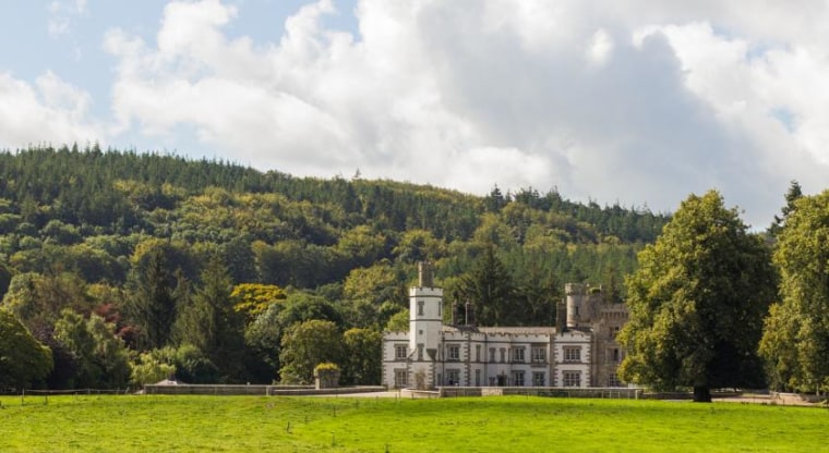 CastleCastle, unclassified · 1.9 mi
 Site of CastleCastle, unclassified · 2.0 mi
 Moore Abbey WoodWood · 2.8 mi
 Horse MuseumMuseum · 4.7 mi
 Japanese GardensHeritage attraction · 4.7 mi
 Bithia Mary CrokerMemorial · 8.2 mi
 Bog Lake WalkWalking route · 9.4 mi
Other information
Photo: Credit not shown in the picture search · Rights wording not checked; contact us if this picture should be removed