What is recorded here
Sub-rectangular graveyard (map dims. L 65m; Wth 30m) with church remains (LH004-060001-) in NW. The earliest noted graveslab dates to 1861, but there are probably earlier unmarked burials here. (SMR file)
Compiled by: Claire Breen
Date of upload: 17 November 2011
The monument record does not grant public access. Check the route and ask the landowner before entering private land.
- What survives
- Recorded monument
Places near here
 Church in KilcurryChurch · 9 yd
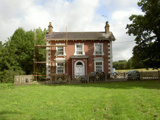 Millbrook Housemiller's house · 558 yd
 Fort HillEnclosure · 646 yd
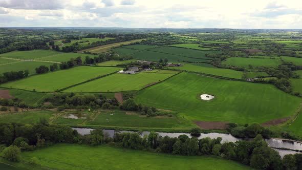 Field system in BalrigganField system · 716 yd
 Balregan CastleCastle, tower house · 851 yd
 TumulusCastle, motte and bailey · 1338 yd
 MonascreebeMountain / peak · 1.8 mi
 Battle of FaughartMajor battlefield · 1.8 mi
 Sky HillMountain / peak · 2.4 mi
 Dundalk CentralHeritage attraction · 2.5 mi
 Maid of ErinMemorial · 2.5 mi
 Bombing 1975Memorial · 2.6 mi